AI algorithms built to map civil infrastructure.
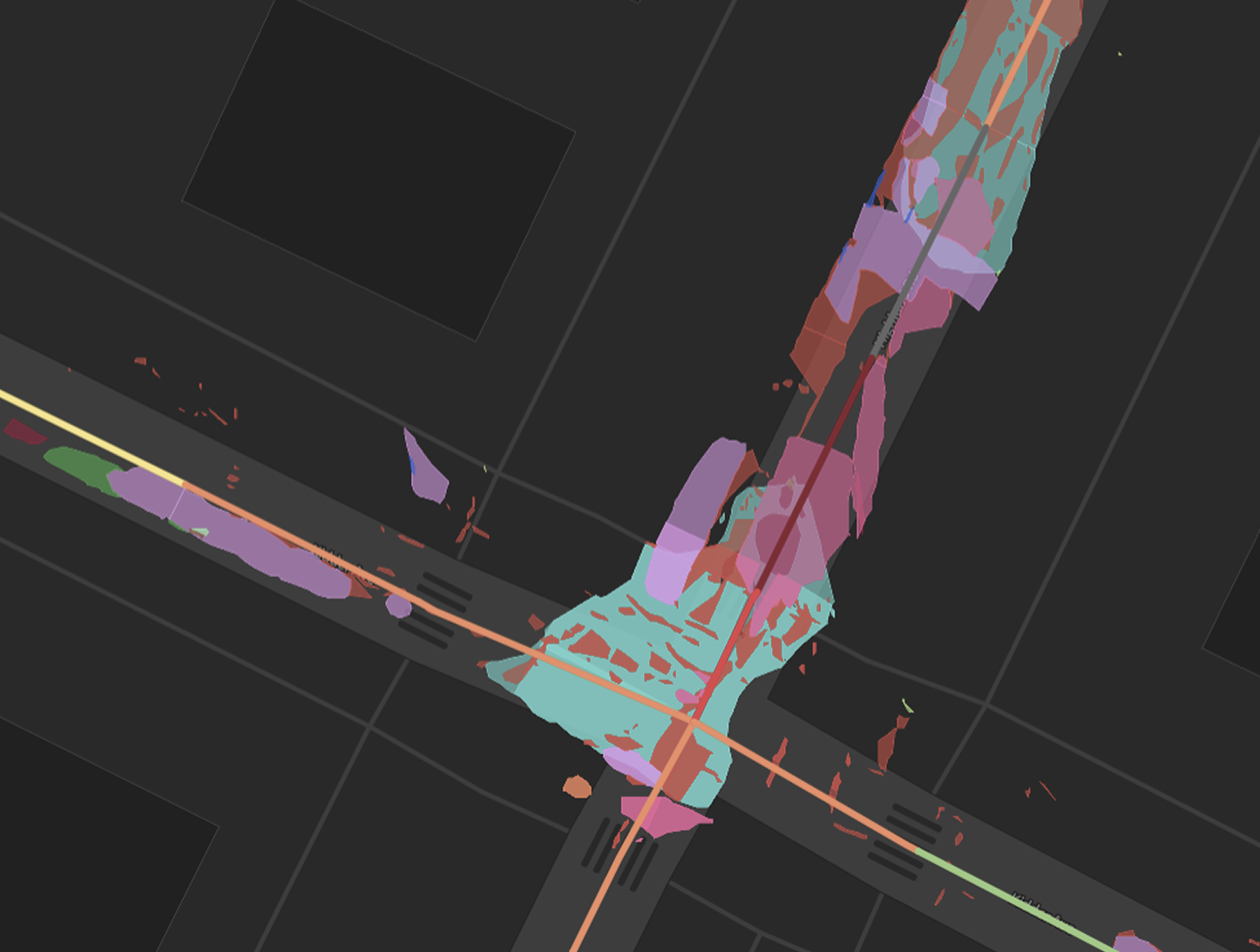
50+ industry leading AI models process LiDAR and 360° imagery to detect pavement distresses, inventory ROW assets, and score conditions. No more subjective ratings. No data sitting in a queue waiting on humans. Just accurate, defensible data for your whole network.
Explore sample data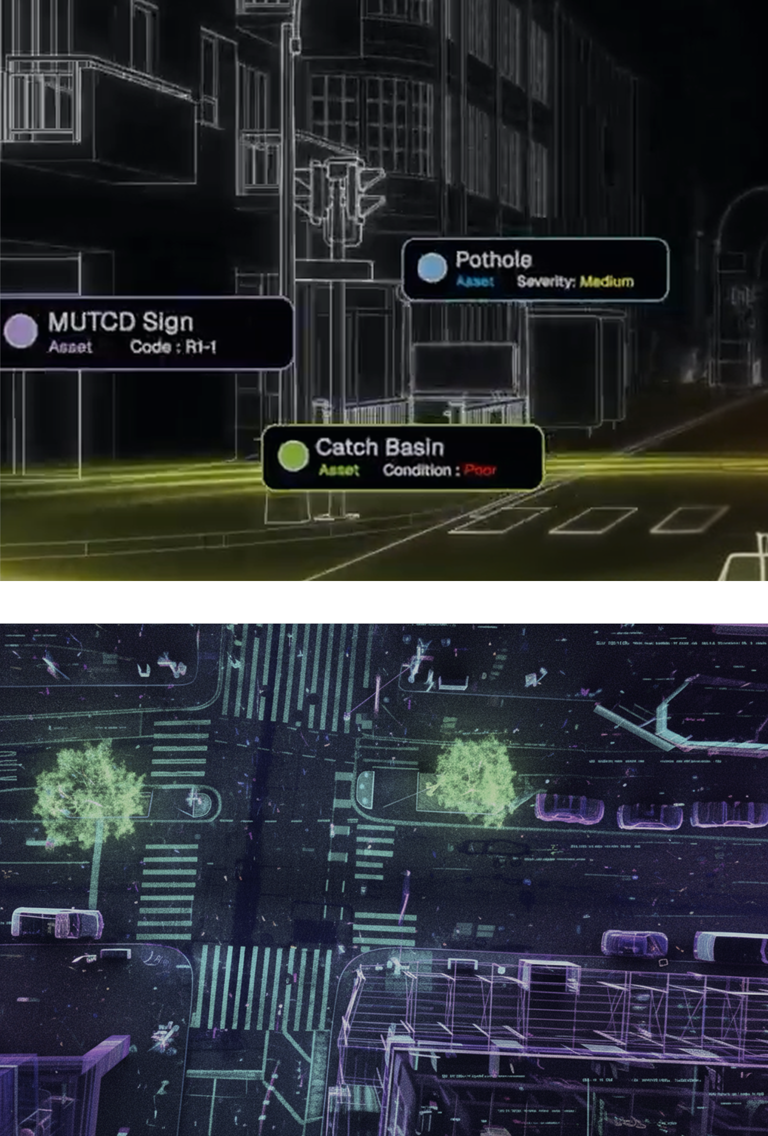
Your infrastructure, understood like never before.
Cyvl's purpose-built AI models extract every pavement distress, sidewalk segment, sign, and ROW asset from raw LiDAR and 360° imagery. Trained on millions of miles of real-world public infrastructure.
Validated against ASTM D6433 standards. Benchmarked against industry expert ratings.
Mapped to state and federal reporting requirements. Consistent year over year, road over road, city over city.
No subjective ratings. No inspector variance. Just accurate data, ready to propel your community into it's next chapter.


-%20logo%20(unpadded).png.png)