Pavement Conditions and Markings
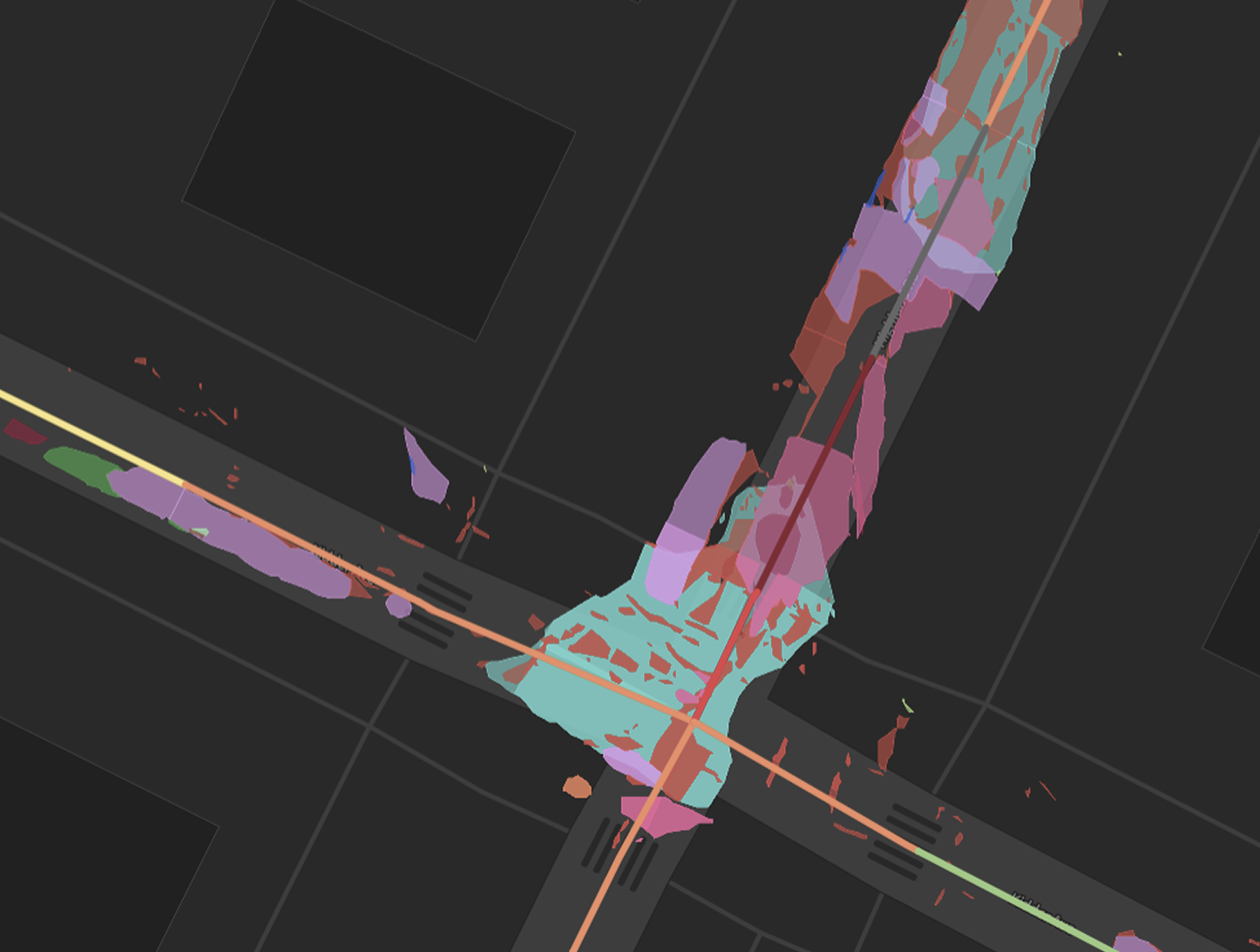
PCI scores, PASER ratings, and 15 ASTM D6433 distresses, mapped at the polygon level across your entire network. Delivered as GIS-ready models your team can use to plan, prioritize, and defend every paving decision. Rich stripings and markings data, accurate down to the centimeter.
Cyvl delivers automated pavement condition assessments that meet ASTM industry standards, using a combination of high-resolution 2D imagery and LiDAR depth data to score distresses accurately across your entire network. Where camera-only solutions cannot reliably distinguish a shadow from a pothole or measure crack severity in three dimensions, Cyvl's data fusion of imagery and LiDAR produces objective, repeatable results your engineers can stand behind.
Pavement scores are delivered in 30-foot segments as PCI (common in New England) or PASER (common in the Midwest), with detailed distress layers covering alligator cracking, potholes, raveling, longitudinal and transverse cracks, utility cuts, edge cracking, and more. Lane marking conditions are assessed alongside pavement, giving you a complete picture of surface-level safety and compliance.
Delivered as GeoJSON or ESRI shapefiles with rollup summaries by street segment, the data imports directly into Cartegraph, OpenGov, and other common pavement management platforms. Year-over-year collection gives you the trend data to demonstrate program effectiveness, defend budget requests, and stay ahead of your network's deterioration.


-%20logo%20(unpadded).png.png)