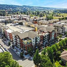
Woodinville, WA
The city received decision-ready maps, scores, and segment-level details in weeks instead of months, shrinking the time between data collection and project kickoff.

Woodinville, WA Infrastructure Assessment
Summary
- 59 roadway miles scanned with LiDAR and sensors; detailed pavement condition data delivered in weeks by May 17, 2024
- Defensible, data-driven paving plan that accelerates repairs and delivers safer, smoother trips for residents
- Clear reports that streamline budgeting, work scheduling, and public communication for smarter use of taxpayer dollars
Problem
Woodinville’s street network was being managed with outdated and inconsistent data, making it hard to know which roads to fix or when. Without a clear, defensible prioritization method, the city often reacted to complaints and spent time answering “Why not my road?” at council and neighborhood meetings. Leaders needed timely, trustworthy information to plan work, align budgets, and show residents how choices were made.
Solution
Woodinville chose Cyvl to rapidly survey 59 miles of roadway using vehicle-mounted LiDAR and sensors, creating an objective record of pavement conditions across the entire network. Within weeks, and by May 17, 2024, Cyvl’s Infrastructure Intelligence platform used AI to turn raw data into condition scores, prioritized repair lists, and ready-to-use reports that align maintenance with budgets and timelines. With detailed, actionable pavement condition data for every segment, the city assembled a defensible, comprehensive plan and moved from reacting to implementing.
Impact
The city received decision-ready maps, scores, and segment-level details in weeks instead of months, shrinking the time between data collection and project kickoff. Public works and finance staff used these outputs to coordinate treatments, schedule crews, and plan funding with clarity residents could see and understand. With simple rollups and visual reports, leaders communicated tradeoffs in public meetings, reducing confusion and building trust.
- 59 roadway miles surveyed with LiDAR and sensor data, enabling consistent standards and citywide coverage for fair, transparent decisions
- Weeks-to-delivery (by May 17, 2024) shortened the gap from survey to work planning, so residents see faster fixes on the ground
- Safer, smoother streets as potholes and surface defects are identified earlier and treated with the right methods
- Fewer 311 complaints and smoother town meetings thanks to clear, data-backed answers to which roads are addressed and when
- Funding requests and allocations are easier to defend, ensuring efficient use of taxpayer dollars on the highest-impact projects
- Budget allocation, public communication, and work scheduling are now streamlined and data-driven, letting teams act faster with confidence


-%20logo%20(unpadded).png.png)