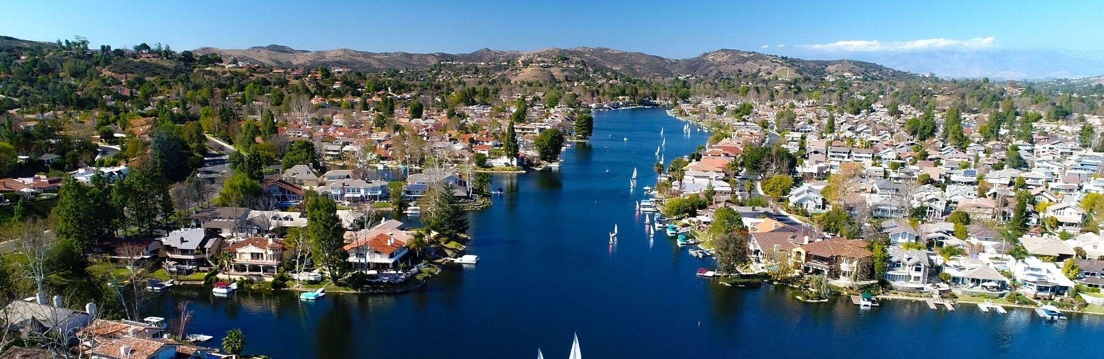
Westlake Village, CA
Within weeks, the city had a comprehensive, network-level assessment and an actionable plan that aligned maintenance, rehabilitation, and preservation to community needs.

Westlake Village, CA Infrastructure Assessment
Summary
- Westlake Village moved from reactive fixes to a transparent, data-driven paving program residents can trust
- 45 miles of streets scanned with LiDAR produced block-by-block condition scores and clear priorities in weeks, not months
- Faster repairs, smoother town meetings, and smarter use of taxpayer dollars delivered by May 1, 2025
Problem
Westlake Village faced growing pressure to keep neighborhood and commuter corridors smooth, but outdated or inconsistent data made it hard to know which roads to fix or when. Without a reliable network-wide view, the city often found itself reacting to complaints instead of executing a strategic plan. Town discussions were tense and staff struggled to show a clear, defensible basis for decisions, leaving residents uncertain about when their street would be addressed.
Solution
Westlake Village selected Cyvl to rapidly survey the entire network, capturing 45 roadway miles with vehicle-mounted LiDAR and sensors to objectively measure pavement condition and distresses. Cyvl’s Infrastructure Intelligence platform used AI to turn raw data into block-level condition scores, prioritized repair lists, budget scenarios, and defensible multi-year plans. Delivered by May 1, 2025, the city gained actionable reports and maps that made it easy to brief council, communicate with residents, and schedule work quickly.
Impact
Within weeks, the city had a comprehensive, network-level assessment and an actionable plan that aligned maintenance, rehabilitation, and preservation to community needs. Staff could show clear, map-based condition scores and funding options, replacing debate with data and accelerating decisions. Crews immediately targeted the most critical segments within a balanced program, shortening the time between data collection and visible improvements for residents.
- 45 roadway miles scanned with LiDAR produced block-level condition scores, enabling crews to schedule repairs faster so residents see work begin sooner
- Delivery by May 1, 2025, in weeks rather than months compressed planning cycles, allowing hazards to be addressed quickly and safely
- Prioritized repair lists and a transparent plan reduced 311 complaints and made town halls smoother by showing exactly why each street is scheduled
- Data-driven budget scenarios helped council allocate funds efficiently, demonstrating responsible use of taxpayer dollars and supporting faster approvals
- Centralized maps and reports made public communication and work scheduling straightforward, improving coordination and minimizing neighborhood disruptions


-%20logo%20(unpadded).png.png)