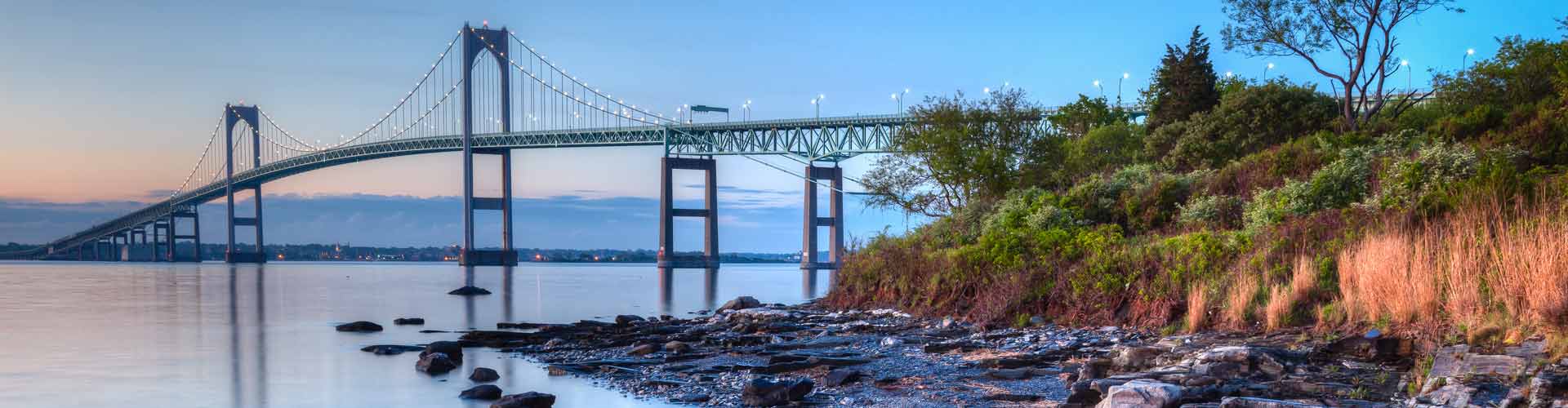
West Greenwich, RI
With current, trusted street data in hand, West Greenwich moved from reactive to proactive—scheduling work earlier, coordinating contractors, and aligning budgets with real needs.
West Greenwich, RI Infrastructure Assessment
Summary
- 66 roadway miles scanned with LiDAR in weeks, not months
- Detailed pavement condition scores and a prioritized repair plan delivered by May 1, 2023
- Faster fixes, clearer town meeting communication, and better use of taxpayer dollars for residents
Problem
West Greenwich manages a spread-out roadway network where freeze–thaw cycles quickly degrade pavement and limited staff must cover many miles. The town’s paving decisions relied on outdated or inconsistent data, making it hard to know which roads to fix or when and leaving crews reactive to complaints instead of following a clear plan. Without defendable numbers, leaders struggled to justify budgets at council meetings and to show efficient use of taxpayer dollars.
Solution
To change this, West Greenwich chose Cyvl to rapidly survey every public road, scanning 66 miles with vehicle-mounted LiDAR and calibrated sensors. Within weeks, Cyvl’s Infrastructure Intelligence platform used AI to convert raw data into segment-level condition scores, mapped distresses, and a prioritized, costed maintenance and paving plan with ready-to-share reports. Delivered by May 1, 2023, the town received a web dashboard and PDF deliverables that unlocked defensible plans, clear repair lists, and transparent communication with residents and leadership.
Impact
With current, trusted street data in hand, West Greenwich moved from reactive to proactive—scheduling work earlier, coordinating contractors, and aligning budgets with real needs. Because the findings were delivered by May 1, 2023, the town compressed the time between assessment and construction, so residents saw improvements faster and with fewer disruptions. Public works gained a single source of truth for all 66 miles, making it easy to explain priorities, answer “Why not my road?” questions, and show responsible stewardship of tax dollars.
- 66 roadway miles scanned with LiDAR and sensors, producing detailed, actionable pavement condition data for every segment
- Condition scores and ranked repair lists enabled crews to address the most urgent safety and ride quality issues first while preserving good roads
- Data and maps delivered by May 1, 2023 cut planning time from months to weeks, accelerating paving and patching schedules
- Fewer 311 complaints and faster responses because staff could dispatch based on objective need, not guesswork
- Town meetings run smoother with defensible visuals and reports that clearly explain what will be fixed and when
- Budget requests are easier to defend and align to real needs, showing efficient use of taxpayer dollars
- Coordination with utilities and contractors improved, reducing rework and minimizing disruptions for residents


-%20logo%20(unpadded).png.png)