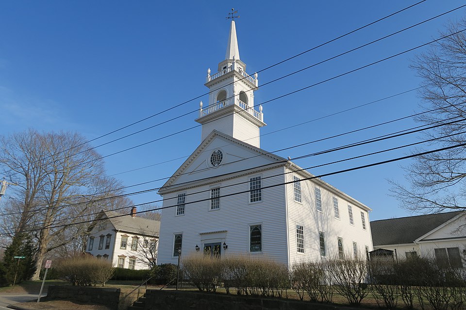
Voluntown, CT
By November 1, 2022, Voluntown had actionable results in hand, moving from uncertainty to a data-driven paving program residents can see on their streets.

Voluntown, CT Infrastructure Assessment
Summary
- 30 roadway miles scanned with LiDAR and delivered by November 1, 2022—weeks not months—so fixes happen faster for residents
- AI-driven condition scores and prioritized repair lists gave Voluntown a clear, defensible paving plan
- Transparent maps and reports improved communication, reduced complaints, and focused taxpayer dollars where they matter most
Problem
Voluntown had to rely on windshield surveys and scattered spreadsheets, leaving the town with outdated and inconsistent data; they didn’t know which roads to fix or when and had no accurate paving budgets. With limited staff, the team was reactive to complaints and constantly asked “Why not my road?” during town meetings, which made decisions appear biased or political. Without a timely, comprehensive view of pavement condition, projects slipped, spending was hard to defend, and residents waited longer for improvements.
Solution
Voluntown chose Cyvl to rapidly survey every public road using vehicle-mounted LiDAR and high-resolution sensors, capturing 30 miles of pavement with consistent, objective measurements. Cyvl’s Infrastructure Intelligence platform used AI to turn the raw data into detailed, actionable pavement condition scores, prioritized repair lists, and public-ready reports so leaders could move from analysis to action faster. Delivered in weeks by November 1, 2022, the results gave the town defensible plans, budget scenarios, and clear next steps tied to visible benefits for residents.
Impact
By November 1, 2022, Voluntown had actionable results in hand, moving from uncertainty to a data-driven paving program residents can see on their streets. With 30 miles analyzed and clear condition scores, the team scheduled near-term fixes and sequenced larger projects for the upcoming construction window, reducing the time between data collection and work in the field. The town can now explain what will be fixed, when, and why—building trust while directing taxpayer dollars to the highest-impact work.
- Faster pothole and hazard repairs as crews deploy to the right locations sooner
- Town meetings run smoother with map-based answers to “Why not my road?” and a clear schedule
- Noticeable drop in 311 calls and emails as residents get transparent timelines and status updates
- Paving budgets are easier to defend, helping secure funding and prove efficient use of taxpayer dollars
- Budget allocation, public communication, and work scheduling are now extremely easy with trustworthy data guiding decisions


-%20logo%20(unpadded).png.png)