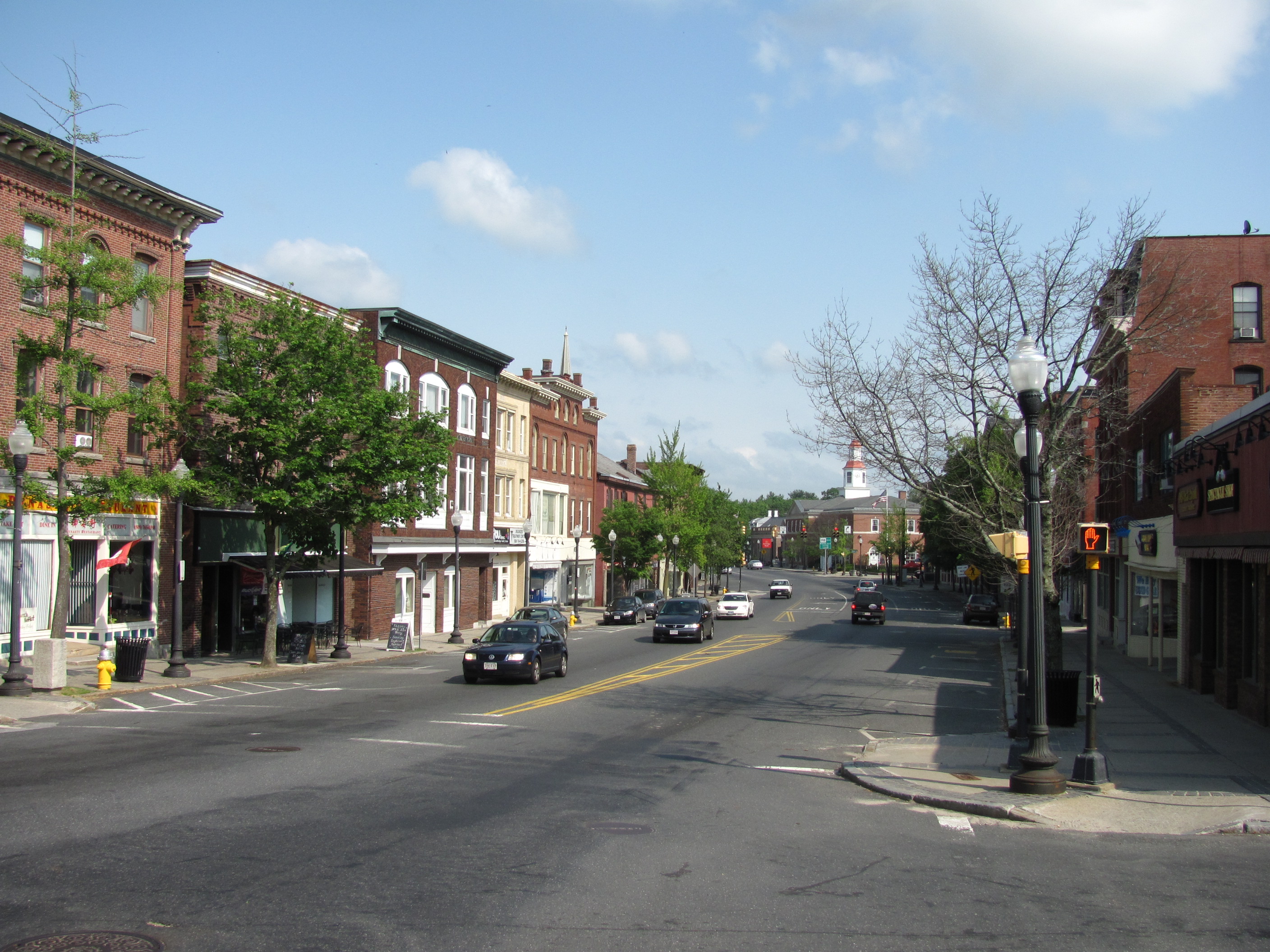
Sturbridge, MA
By scanning 90 miles and delivering detailed, actionable pavement condition data by June 17, 2024, Sturbridge turned insight into action before peak paving season.

Sturbridge, MA Infrastructure Assessment
Summary
- 90 roadway miles surveyed in weeks, giving residents faster, safer trips
- Detailed pavement condition scores and a transparent, criteria-based plan that explains what gets fixed and when
- Results delivered on June 17, 2024 so crews could schedule repairs for summer work windows and address critical segments sooner
Problem
Sturbridge faced growing pressure to explain paving choices while working with outdated or inconsistent road data. Without reliable condition scores, the team struggled to build accurate paving budgets and often fielded Why not my road? questions at town meetings and through 311. Seasonal damage pushed reactive fixes instead of a clear, defensible program that prioritized the network based on need and value to residents.
Solution
To move fast, the Town selected Cyvl to rapidly survey the network with vehicle-mounted LiDAR and sensors, capturing a complete, high-accuracy view of every block. Cyvl’s Infrastructure Intelligence platform used AI to turn that dataset into detailed pavement condition scores, prioritized repair lists, and interactive reports that make decisions clear and defensible. Sturbridge received actionable, street-level maps and multi-year planning scenarios in weeks, including comprehensive pavement condition data for 90 roadway miles delivered on June 17, 2024.
Impact
By scanning 90 miles and delivering detailed, actionable pavement condition data by June 17, 2024, Sturbridge turned insight into action before peak paving season. The team converted scores into a transparent, criteria-based program that schedules repairs sooner and aligns funding to need, improving safety and ride quality for residents. Faster decisions meant quicker repairs, fewer surprises, and clearer communication about what comes next.
- 90 roadway miles scanned with LiDAR and sensors, producing street-by-street condition scores residents can see and understand
- Weeks, not months, from survey to delivery on June 17, 2024, so crews scheduled repairs sooner and shortened the pothole cycle
- Transparent, criteria-based plans reduced Why not my road? questions and made town meetings smoother and more productive
- Data-backed budget scenarios helped defend funding and allocate taxpayer dollars to the highest-value projects
- Faster planning and scheduling led to fewer 311 complaints, better coordination with utilities, and less disruption for neighborhoods


-%20logo%20(unpadded).png.png)