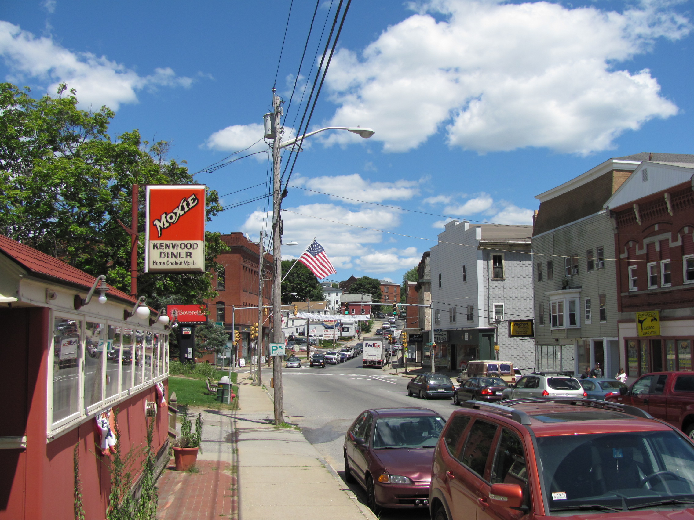
Spencer, MA
Spencer moved from reactive to proactive by basing its paving program on verified data rather than guesswork.
Spencer, MA Infrastructure Assessment
Summary
- 100 roadway miles scanned with LiDAR and sensors, delivering detailed, actionable pavement condition data
- Results delivered by October, 15, 2024, in weeks not months, accelerating street repairs for residents
- Data-driven paving plan gives clear priorities, quicker responses, and better use of taxpayer dollars
Problem
Spencer’s road network faces heavy wear from New England freeze-thaw cycles, leaving residents frustrated with potholes and uneven surfaces. The town’s pavement information was outdated and inconsistent, making it hard to know which streets to fix and when, and preventing accurate budgeting. Without defensible, data-driven work plans, staff struggled to set clear priorities and spent too much time reacting to complaints instead of delivering a transparent, long-term paving program.
Solution
Spencer chose Cyvl to rapidly survey its entire network, scanning 100 roadway miles using vehicle-mounted LiDAR and sensors to capture lane-level pavement condition. Within weeks, Cyvl’s Infrastructure Intelligence platform used AI to translate the raw data into pavement condition scores, a prioritized repair list, program-level budget scenarios, and reports that city leaders can use to make faster, better decisions. By October, 15, 2024, the town had defensible plans, clear public-facing visuals, and detailed, actionable pavement condition data for every mile surveyed.
Impact
Spencer moved from reactive to proactive by basing its paving program on verified data rather than guesswork. With reliable condition scores and clear priorities, staff can start projects sooner, schedule crews more efficiently, and show residents exactly how decisions are made. The speed of delivery—weeks instead of months—shortened the time between data collection and actual road work, improving safety and ride quality faster.
- Safer daily travel as critical repairs are identified and scheduled sooner across 100 miles of streets
- Faster pothole and patch response because crews have a ranked work list tied to verified condition scores
- Fewer 311 complaints and smoother town meetings with clear maps and explanations for “why this road, why now”
- More budget confidence and approvals as leaders show efficient use of taxpayer dollars with data-backed scenarios
- Easier scheduling and coordination; crews spend less time guessing and more time fixing streets


-%20logo%20(unpadded).png.png)