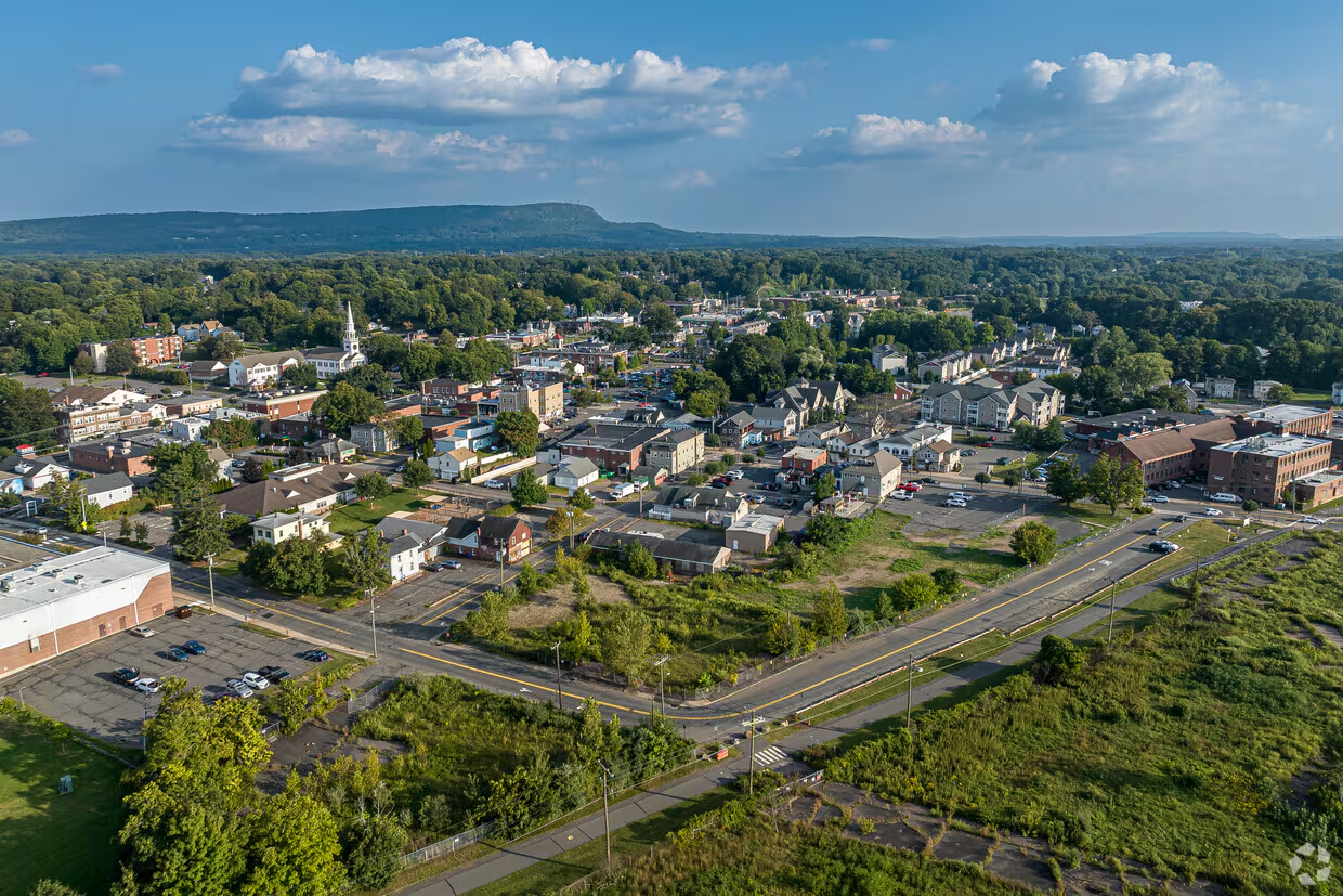
Southington, CT
By September 30, 2025, Southington had objective, street-level condition data for all 209 miles and a plan it could act on immediately.

Southington, CT Infrastructure Assessment
Summary
- 209 roadway miles surveyed with LiDAR, delivering defensible condition data by September 30, 2025
- Data-driven paving plan built in weeks, accelerating visible improvements for residents
- Faster approvals and scheduling led to quicker repairs, safer streets, and clearer communication
Problem
Southington’s pavement program was constrained by outdated and inconsistent road condition information, making it hard to know which streets to fix and when. Without trustworthy data, staff struggled to build a defensible paving plan or develop accurate paving budgets, which made it difficult to secure funding. Leaders often had to play defense in town meetings and respond to complaint-driven requests, with residents asking, “Why not my road?” and no clear way to justify priorities.
Solution
Southington chose Cyvl to rapidly survey the full network using vehicle-mounted LiDAR and sensors, capturing street-level conditions across 209 roadway miles. Within weeks, Cyvl’s Infrastructure Intelligence platform used AI to generate objective condition scores, prioritized repair lists, and clear, defensible reports—converting raw scans into actionable plans. With detailed, block-by-block pavement condition data, the city finalized a transparent program faster, aligned budgets to needs, and clearly communicated the timing and rationale behind each project.
Impact
By September 30, 2025, Southington had objective, street-level condition data for all 209 miles and a plan it could act on immediately. The short delivery timeline reduced the gap between data collection and construction from months to weeks, so residents saw improvements sooner. With transparent scores and clear cost implications, council discussions focused on tradeoffs and outcomes, enabling faster approvals and smarter use of taxpayer dollars.
- High-priority segments moved to construction faster, improving safety and smoothing daily commutes for residents
- Crews scheduled with clear segment lists fixed potholes and failing pavement sooner, reducing 311 complaints
- Data-backed schedules and budgets won quicker approvals, getting projects into the field earlier in the season
- Residents received clear answers to “Why not my road?” supported by objective condition scores and timelines
- Budget allocation, public communication, and work scheduling were streamlined because decisions were driven by trusted data
- Detailed pavement condition data for 209 roadway miles now guides maintenance, preservation, and resurfacing with confidence


-%20logo%20(unpadded).png.png)