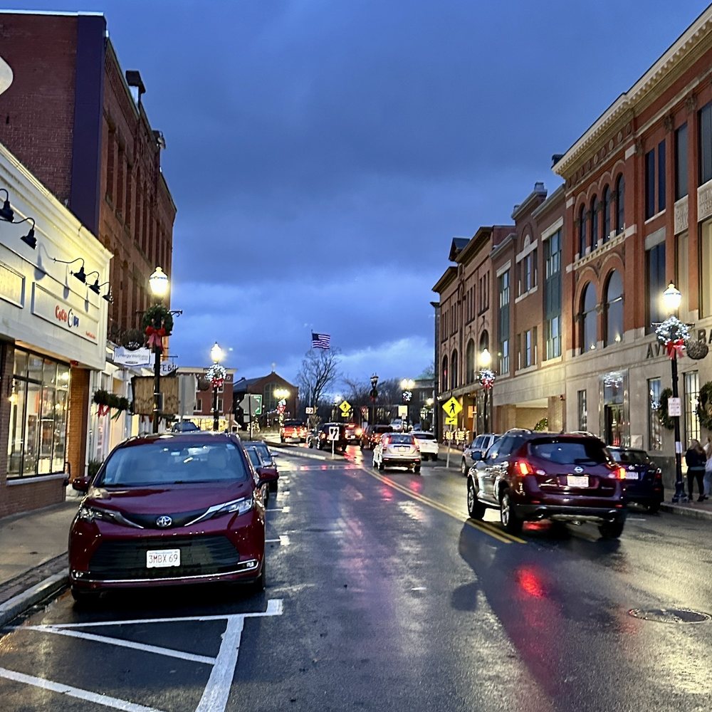
Southborough, MA
The fast delivery gave Southborough a head start on the next construction season, shrinking the time between data collection and project implementation.

Southborough, MA Infrastructure Assessment
Summary
- 71 roadway miles surveyed with LiDAR and AI, delivered on December 20, 2022, giving Southborough immediate, defensible street condition data
- Weeks-not-months turnaround enabled faster fixes and quicker responses to community needs
- City leaders moved from reactive to proactive with clear plans, transparent communication, and confident budget decisions
Problem
Outdated and inconsistent pavement data left Southborough unsure which roads to fix and when, and made paving budgets difficult to forecast or defend. Public works often played defense to 311 complaints and town-meeting questions of “Why not my road?”, which made prioritization appear biased rather than objective. This reactive cycle slowed projects, increased resident frustration, and kept crews chasing issues instead of executing a citywide plan.
Solution
To change that, Southborough chose Cyvl to rapidly survey all 71 roadway miles using vehicle-mounted LiDAR and sensors, capturing high-resolution geometry and surface condition across the network. Within weeks, Cyvl’s Infrastructure Intelligence platform applied AI to produce segment-level condition scores, objective prioritization, budget scenarios, and ready-to-use maps and reports delivered on December 20, 2022. Armed with defensible data, the city immediately generated prioritized repair lists and a clear, explainable plan that linked investments to resident outcomes and faster action.
Impact
The fast delivery gave Southborough a head start on the next construction season, shrinking the time between data collection and project implementation. Public works could schedule crews and procure paving with confidence, and explain decisions with transparent metrics in council and neighborhood meetings. Most importantly, residents saw quicker fixes on the most critical segments, fewer repeat potholes, and a clearer understanding of when their street would be addressed.
- 71 roadway miles now have detailed, segment-level condition scores that translate directly into work orders and bid lists
- Weeks-not-months turnaround (delivered on December 20, 2022) enabled winter planning and spring mobilization, accelerating visible improvements for residents
- Transparent maps and reports reduced 311 complaints and made town meetings smoother by answering “Why not my road?” with objective data
- Data-backed budget requests showed efficient use of taxpayer dollars and helped leadership right-size paving allocations with confidence
- Maintenance crews shifted from chasing complaints to executing a comprehensive plan, fixing potholes faster and improving ride quality and safety
- With accurate condition data, scheduling, public communication, and capital planning became simpler and faster, freeing staff time for higher-impact work


-%20logo%20(unpadded).png.png)