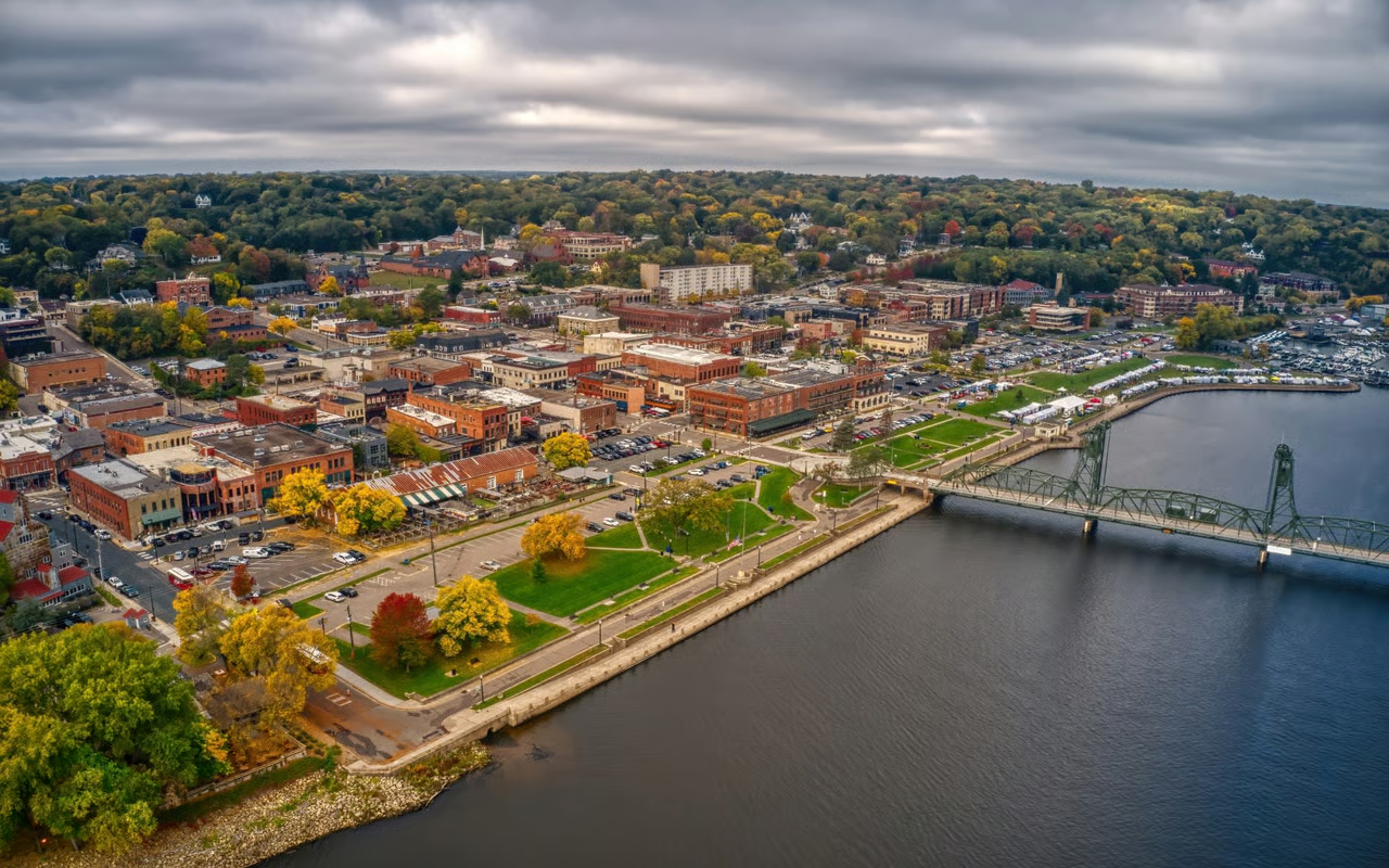
Shoreview, MN
By June 25, 2024, the city had detailed, actionable pavement condition data for every one of the 90 roadway miles surveyed, cutting months from the typical timeline.

Shoreview, MN Infrastructure Assessment
Summary
- 90 roadway miles scanned and rated, with results delivered by June 25, 2024
- Actionable pavement condition data and a prioritized repair plan produced in weeks, accelerating visible fixes for residents
- Clear, defensible budgets and communications that reduce complaints and build trust
Problem
Shoreview faced accelerating wear from Minnesota freeze–thaw cycles, but the city’s pavement data was outdated and inconsistent, making it hard to know which roads to fix and when, and impossible to build accurate paving budgets. Without a defensible prioritization method, staff were pulled into reactive responses to complaints and struggled to explain choices at council and neighborhood meetings. Manual assessments took too long, were inconsistent across crews, and by the time reports were compiled, the information was already stale for decision-making.
Solution
Shoreview chose Cyvl to rapidly survey the full network using vehicle-mounted LiDAR and sensors, capturing objective pavement conditions across 90 roadway miles in a matter of weeks. Cyvl’s Infrastructure Intelligence platform used AI to convert the raw scans into street-by-street pavement condition scores, maintenance and rehabilitation recommendations, and ready-to-use budget scenarios that align with engineering best practices. The city received a transparent, defensible plan, complete with prioritized repair lists and maps, enabling leaders to brief council and the public with confidence and move to action faster.
Impact
By June 25, 2024, the city had detailed, actionable pavement condition data for every one of the 90 roadway miles surveyed, cutting months from the typical timeline. Public Works leveraged the plan to schedule near-term maintenance and program multi-year investments, so residents see faster repairs and clearer rationale for what happens next. With credible, shared data, council conversations are simpler, budget reviews are straightforward, and staff can address the highest-priority segments first based on transparent criteria.
- 90 roadway miles scanned with LiDAR and high‑resolution sensors, delivering objective condition scores residents can trust
- Weeks, not months: data delivered by June 25, 2024, so crews could target repairs sooner and reduce the time from assessment to action
- Street‑by‑street condition scores, GIS layers, and prioritized repair lists that make budget allocation, public communication, and work scheduling straightforward
- Fewer 311 complaints and faster responses because staff can show exactly why each street is prioritized and when work is scheduled
- Defensible plan and budget scenarios that help leaders demonstrate efficient use of taxpayer dollars and secure support for funding
- Faster infrastructure improvements for residents, with clear guidance for maintenance, overlays, and reconstruction to improve safety and ride quality


-%20logo%20(unpadded).png.png)