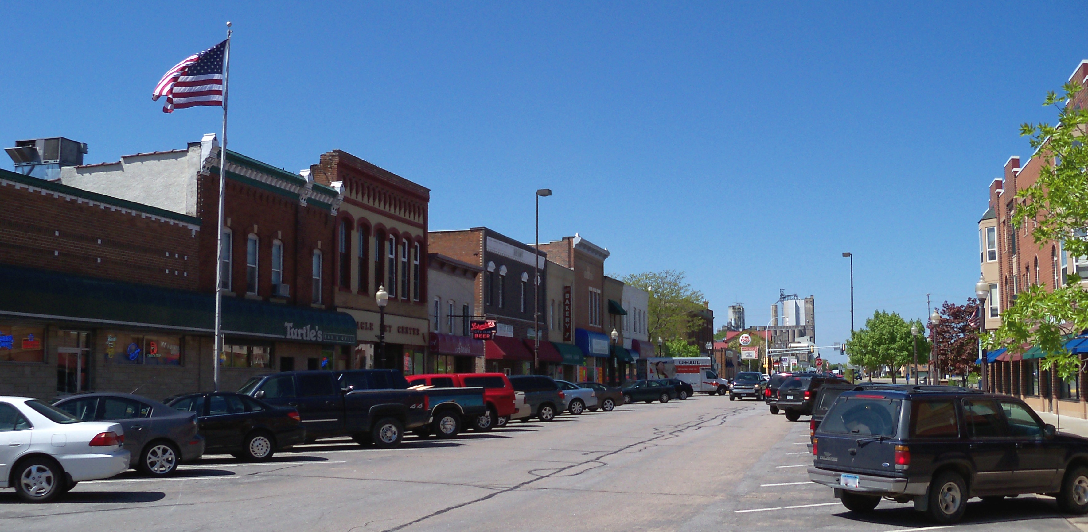
Shakopee, MN
In weeks—not months—Shakopee moved from uncertainty to clarity, with comprehensive pavement condition data covering 174 roadway miles and a data-backed program ready to execute.
Shakopee, MN Infrastructure Assessment
Summary
- 174 roadway miles scanned and pavement condition data delivered by May 24, 2024 — weeks, not months
- Actionable condition scores and prioritized repair lists enabled a defensible, transparent paving plan
- Faster fixes, safer streets, and clearer communication for Shakopee residents
Problem
Shakopee’s street network was growing and aging at the same time, but staff were forced to make decisions with outdated or inconsistent data that could not keep up with on-the-ground conditions. Without accurate paving budgets or a clear prioritization method, the city often found itself reactive to complaints and answering “Why not my road?” at council and neighborhood meetings. Manual survey methods were slow and costly, and by the time reports were compiled the information was already stale, making it hard to defend plans or schedule work efficiently.
Solution
Shakopee selected Cyvl to rapidly modernize its street data, using vehicle-mounted LiDAR and sensors to survey 174 roadway miles and capture high-resolution pavement condition in weeks. Cyvl’s Infrastructure Intelligence platform applied AI to produce detailed pavement condition scores, prioritized repair lists, and defensible, easy-to-share reports that city leaders could use immediately. Delivered by May 24, 2024, the project also mapped 27,862 trees to help coordinate roadway work with urban forestry and reduce future conflicts and resident disruption.
Impact
In weeks—not months—Shakopee moved from uncertainty to clarity, with comprehensive pavement condition data covering 174 roadway miles and a data-backed program ready to execute. The short delivery timeline compressed the gap between data collection and construction planning, enabling faster project starts and improved safety on neighborhood streets. With 27,862 assets mapped and intuitive reports in hand, the city improved budget accuracy, scheduling, and public communication—turning contentious meetings into transparent, fact-based discussions.
- Residents see faster street repairs because the city can move from survey to action quickly
- Safer, smoother roads as crews target high-priority fixes guided by objective condition scores
- Fewer 311 complaints thanks to clear explanations of how streets are prioritized and when work is scheduled
- More confident budget requests and approvals, supported by defensible, citywide data
- Public meetings run smoother with maps, scores, and project timelines that are easy to understand
- Work planning is streamlined—crews know what to fix, where, and when, reducing wasted trips and rework
- Coordinated tree and pavement work reduces future road damage and neighborhood disruption, saving taxpayer dollars


-%20logo%20(unpadded).png.png)