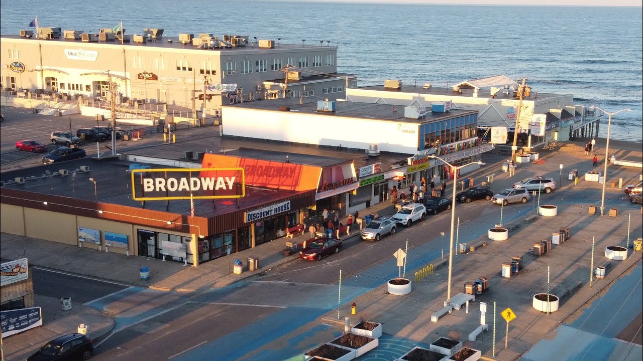
Salisbury, MA
By June 17, 2022, Salisbury had a comprehensive, defensible plan grounded in measurable pavement condition scores for 36 roadway miles, enabling faster, more targeted maintenance.

Salisbury, MA Infrastructure Assessment
Summary
- Citywide street condition intelligence delivered in weeks, not months, covering 36 roadway miles
- Faster fixes and safer drives for Salisbury residents
- Defensible, data-driven paving plan that stretches taxpayer dollars
Problem
Salisbury’s coastal roads face heavy seasonal traffic and weather stress, but leaders lacked a current, consistent view of street conditions to guide action. Outdated or inconsistent data forced staff to react to complaints and chase potholes rather than build a strategic paving plan. With no accurate paving budgets and limited ability to justify choices in public meetings, the city struggled to show efficient use of taxpayer dollars while keeping pace with resident expectations.
Solution
Salisbury selected Cyvl to rapidly survey every public road using vehicle-mounted LiDAR and sensors, capturing a complete, objective record of surface conditions across 36 roadway miles. Cyvl’s Infrastructure Intelligence platform applied AI to transform raw measurements into street-by-street condition scores, prioritized repair lists, and scenario-based budget plans that city leaders could trust. Delivered by June 17, 2022—weeks instead of months—the city received detailed, actionable pavement condition data for all 36 miles, plus clear reports and maps that made it easy to communicate the plan and move projects into construction faster.
Impact
By June 17, 2022, Salisbury had a comprehensive, defensible plan grounded in measurable pavement condition scores for 36 roadway miles, enabling faster, more targeted maintenance. With reliable data in hand, staff could schedule repairs by impact and urgency, communicate tradeoffs, and start work sooner—reducing the time between data collection and project execution. Residents saw quicker fixes, smoother commutes, and stronger accountability for how paving dollars were spent.
- 36 roadway miles scanned with LiDAR and sensor data, producing street-level condition scores that guide crews to the right locations at the right time
- Weeks-not-months delivery turned insight into action faster, shortening the window between assessment and construction mobilization
- A defensible, prioritized repair list made town meetings smoother by showing exactly why each street was scheduled, reducing “Why not my road?” debates
- Transparent, data-backed budgets helped leaders secure funding and allocate dollars to the highest-impact projects for residents
- Work planning and scheduling became straightforward, enabling crews to coordinate utility work, paving windows, and school traffic to minimize disruption


-%20logo%20(unpadded).png.png)