Pawtucket, RI
With current, defensible data in hand, Pawtucket moved from reacting to complaints to executing a proactive, citywide plan that residents could see on the street.
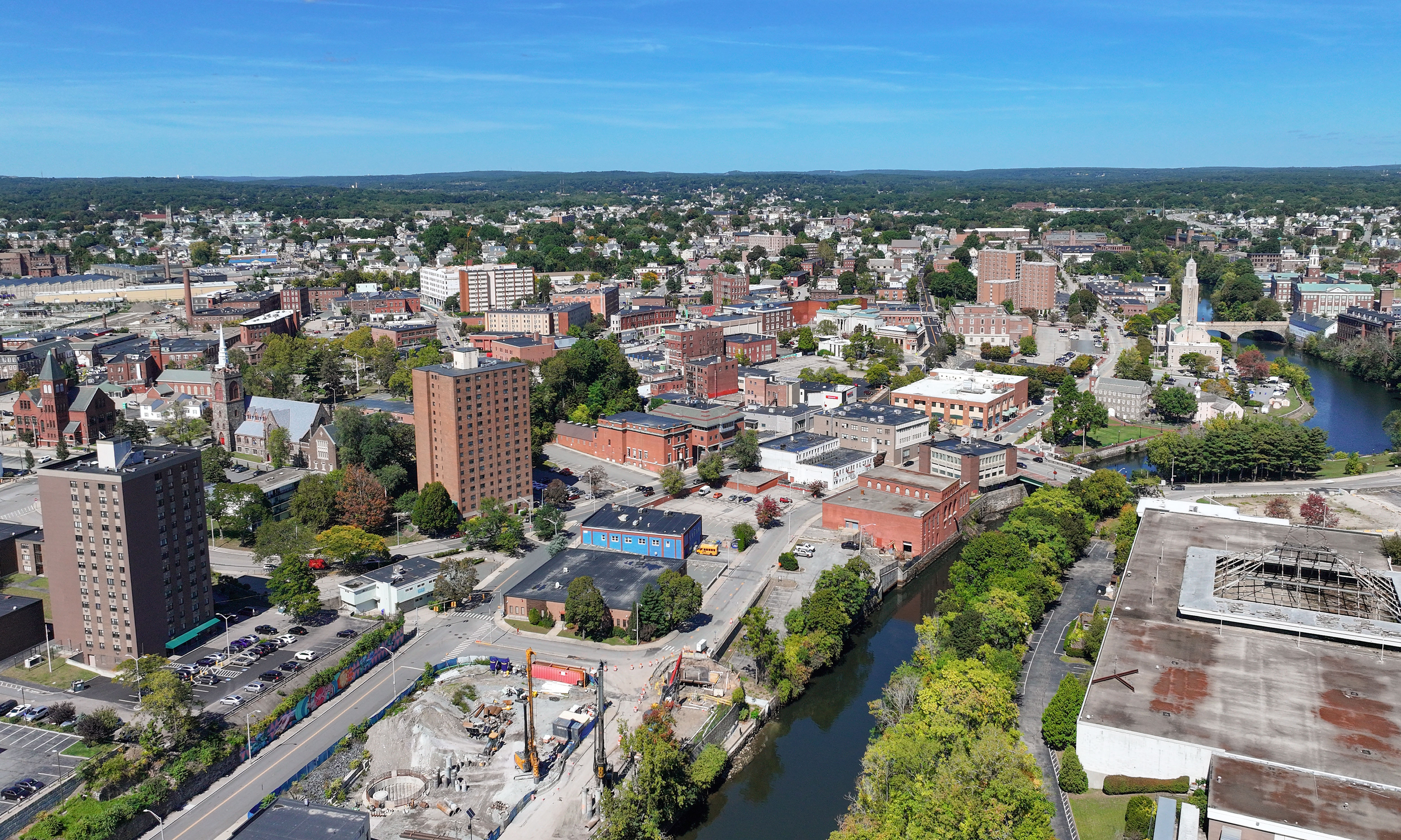
Pawtucket, RI Infrastructure Assessment
Summary
- 191 roadway miles scanned and 11,784 signs inventoried, giving Pawtucket a complete, current view of its streets
- AI-powered condition scores and plans delivered by June 13, 2022, turning months of guesswork into weeks of progress for residents
- Defensible budgets and clear priorities reduced complaints and accelerated visible repairs across neighborhoods
Problem
Pawtucket’s pavement decisions were driven by outdated and inconsistent information, making it hard to know which roads to fix or when. Without a clear prioritization method and defensible paving plans, the city often found itself reactive to complaints and forced into short-term fixes that didn’t stretch taxpayer dollars. Budget discussions were difficult to defend because there wasn’t accurate, citywide condition data to show efficient use of funds and keep residents informed.
Solution
Pawtucket chose Cyvl to rapidly survey the network using vehicle‑mounted LiDAR and calibrated sensors, scanning 191 roadway miles and inventorying 11,784 traffic signs in weeks. On June 13, 2022, the city received detailed, actionable pavement condition data and a complete sign inventory in Cyvl’s Infrastructure Intelligence platform, which transformed raw measurements into citywide condition scores, GIS layers, and ready‑to‑use reports. Using AI, the platform produced prioritized repair lists and defensible, data‑backed work plans so leaders could align budgets, schedule crews, and communicate clearly with residents.
Impact
With current, defensible data in hand, Pawtucket moved from reacting to complaints to executing a proactive, citywide plan that residents could see on the street. The weeks‑not‑months delivery created a shorter gap between data collection and construction, accelerating pavement repairs and sign maintenance across neighborhoods. Public Works used condition scores to align budgets with need, schedule work zones efficiently, and explain decisions in council and community meetings with confidence.
- Faster start to paving season with citywide condition scores ready by June 13, 2022, enabling crews to mobilize sooner
- Fewer 311 complaints as residents see repairs prioritized based on transparent data and clear criteria
- Safer travel for drivers, cyclists, and school buses as potholes and hazards are identified and fixed sooner
- Clear, defensible budget requests supported by quantified needs across 191 miles, improving chances of funding approval
- Citywide inventory of 11,784 signs exposed missing or damaged signs so safety fixes in school zones and crossings happened sooner
- More efficient allocation of taxpayer dollars by sequencing work and materials where they deliver the greatest impact


-%20logo%20(unpadded).png.png)