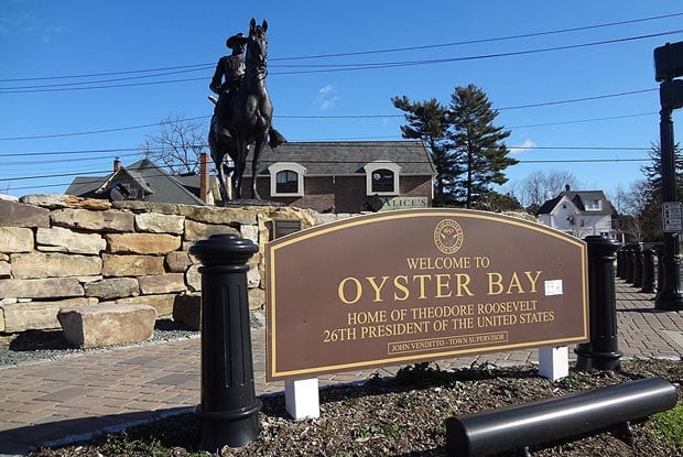
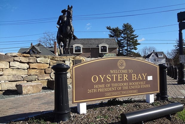
Oyster Bay, NY
With complete, trustworthy pavement condition data delivered by August 28, 2023, Oyster Bay shifted from reacting to complaints to executing a proactive, transparent program.

Oyster Bay, NY Infrastructure Assessment
Summary
- 917 roadway miles surveyed and scored in weeks, not months, accelerating visible street improvements for residents
- Actionable, defensible paving program delivered by August 28, 2023, improving safety and ride quality town‑wide
- Clear priorities and budgets focused taxpayer dollars where they matter most and reduced complaint‑driven decisions
Problem
Oyster Bay managed a large and diverse road network with information that was outdated and inconsistent from one neighborhood to the next. Without current condition data, the team didn’t know which roads to fix or when, and struggled to translate limited insights into accurate paving budgets. At the same time, they were often playing defense to resident complaints—fielding “Why not my road?” questions and facing tough town meetings without a clear, defensible prioritization method.
Solution
Oyster Bay chose Cyvl to modernize its pavement program with fast, objective intelligence. Cyvl used vehicle‑mounted LiDAR and sensors to rapidly survey 917 roadway miles, then applied AI in the Infrastructure Intelligence platform to produce block‑level condition scores, prioritized repair lists, and defensible multi‑year plans. The town received map‑based reports, budget scenarios, and work schedules in weeks, enabling leaders to make better decisions faster and take action residents could see.
Impact
With complete, trustworthy pavement condition data delivered by August 28, 2023, Oyster Bay shifted from reacting to complaints to executing a proactive, transparent program. The team translated the 917‑mile assessment into clear schedules and budgets that addressed the highest‑impact corridors first and coordinated work across crews and utilities. Because the intelligence arrived in weeks rather than months, residents experienced faster fixes, safer travel, and clearer communication about what comes next.
- Residents see quicker repairs and smoother, safer trips as high‑priority corridors move to construction faster
- Potholes and surface hazards are identified and queued sooner, reducing time from report to repair
- Town meetings run smoother with map‑based condition scores that explain “why this road now,” lowering friction and building trust
- Fewer 311 calls and emails as proactive maintenance replaces complaint‑driven work orders
- Budget approvals come easier with transparent, data‑backed scenarios that demonstrate efficient use of taxpayer dollars
- Budget allocation, public communication, and crew scheduling are now straightforward, guided by shared, trusted data
- Coordinated planning with utilities reduces rework and stretches paving dollars further, accelerating visible neighborhood improvements


-%20logo%20(unpadded).png.png)