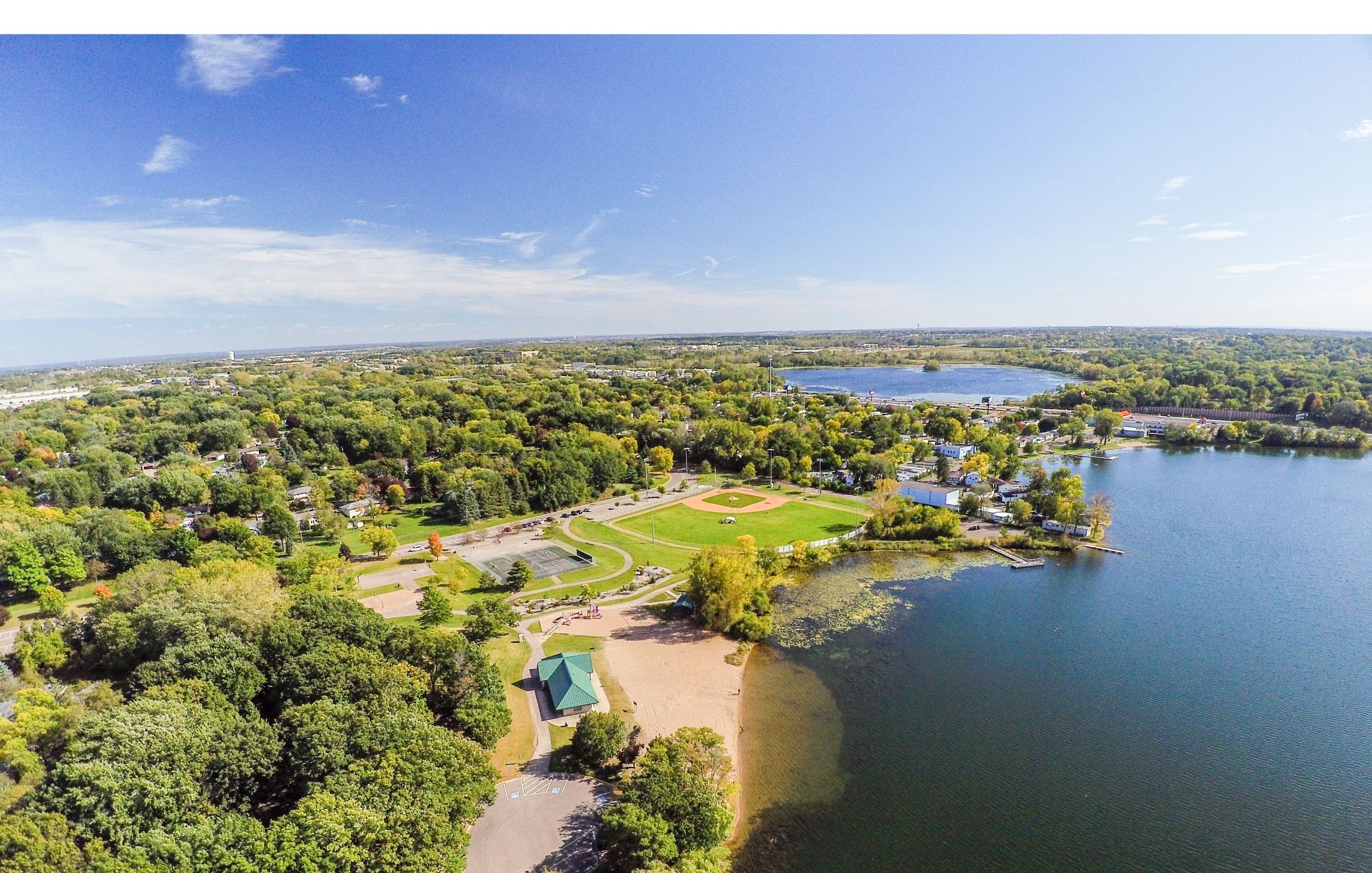
Oakdale, MN
With trustworthy, current data in hand, Oakdale shifted from reactive firefighting to proactive management of its streets.

Oakdale, MN Infrastructure Assessment
Summary
- Weeks-fast delivery of street condition data so residents see repairs sooner
- 102 roadway miles scanned with LiDAR, producing accurate condition scores and fair, transparent choices
- Clear, defensible paving plan that reduces complaints and speeds projects
Problem
Oakdale faced growing pressure to decide which roads to fix without reliable, current information, relying on outdated spreadsheets and inconsistent field notes that made budgeting guesswork. With limited ability to build defensible paving plans, the city often found itself reactive to complaints instead of executing a clear prioritization method across the network. These gaps made it hard to explain decisions at council meetings, strained the budget process, and slowed down visible improvements for residents.
Solution
Oakdale selected Cyvl to rapidly survey the entire network, scanning 102 roadway miles with vehicle-mounted LiDAR and sensors and delivering results by August 20, 2024. Cyvl’s Infrastructure Intelligence platform used AI to transform the raw data into detailed, segment-level pavement condition scores, repair recommendations, and cost scenarios that city leaders could trust. With defensible reports, prioritized project lists, and council-ready visuals, staff gained everything needed to build a comprehensive, multi-year plan in weeks instead of months.
Impact
With trustworthy, current data in hand, Oakdale shifted from reactive firefighting to proactive management of its streets. The weeks-fast delivery meant the city could move from survey to scheduling quickly, reducing the time between what residents report and what crews fix. Clear condition scores and transparent prioritization helped explain “why this road now,” improving community trust and speeding approvals.
- 102 roadway miles scanned and scored, enabling a citywide paving and preservation plan built in weeks, not months
- Delivery by August 20, 2024 allowed staff to immediately schedule near-term maintenance while preparing larger projects for the next construction season
- Data-driven repair lists helped crews target the highest-need segments within a balanced plan, accelerating visible improvements for neighborhoods
- Fewer 311 complaints as residents see faster pothole repairs and understand the rationale through maps, segment scores, and plain-language reports
- Stronger budget justification with objective costs and lifecycle strategies, ensuring taxpayer dollars are allocated where they deliver the most benefit
- Public works can plan routes, materials, and contractor coordination with confidence, reducing delays and change orders and getting streets open sooner


-%20logo%20(unpadded).png.png)