North Oaks, MN
With current, trustworthy data, North Oaks built a transparent, citywide plan that residents can see and understand.
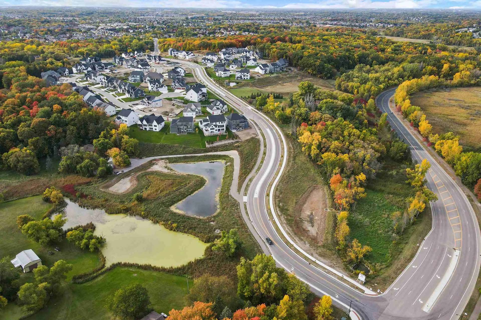
North Oaks, MN Infrastructure Assessment
Summary
- Weeks-not-months delivery by August 28, 2024 accelerates paving decisions and resident improvements
- 57 roadway miles scanned and 771 signs inventoried provide a defensible, citywide picture for faster action
- Clear, data-driven priorities reduce 311 complaints and make town meetings more productive
Problem
North Oaks, MN managed streets with manual windshield surveys and spreadsheets, so data was outdated and inconsistent by the time decisions were made. Without accurate paving budgets or a clear prioritization method, staff were often reactive to complaints and struggled to explain what would be paved and when. The city faced tough town hall questions about efficient use of taxpayer dollars and lacked a defensible plan to show how investments would improve safety and ride quality for residents.
Solution
North Oaks selected Cyvl to rapidly survey the entire network using vehicle‑mounted LiDAR and sensors, capturing 57 roadway miles and inventorying 771 signs across the city. Cyvl’s Infrastructure Intelligence platform used AI to convert that raw data into block‑by‑block pavement condition scores, prioritized repair lists, and defensible multi‑year scenarios tied to different budget levels. Detailed, actionable pavement condition data and clear reports were delivered by August 28, 2024—weeks instead of months—so leaders could move quickly from assessment to scheduling and communication.
Impact
With current, trustworthy data, North Oaks built a transparent, citywide plan that residents can see and understand. Crews now align the right treatment to the right roadway segment at the right time and coordinate sign work with paving to reduce disruptions. Turning 57 miles of scans and 771 sign records into clear priorities shortened the time between data collection and construction, improved safety, and strengthened budget requests with defensible evidence.
- Faster pothole repairs and smoother rides because crews know exactly where conditions are failing and which treatment to use
- Town meetings run smoother with maps, condition scores, and budget scenarios that answer “Why not my road?”
- Fewer 311 complaints as residents see progress and receive proactive communication on schedules
- More funding approvals by demonstrating efficient, data‑backed use of taxpayer dollars
- Budget allocation, public communication, and work scheduling now take hours, not weeks, because the plan is already built on trusted data
- Coordinated sign replacements and pavement work reduce repeat mobilizations and traffic impacts


-%20logo%20(unpadded).png.png)