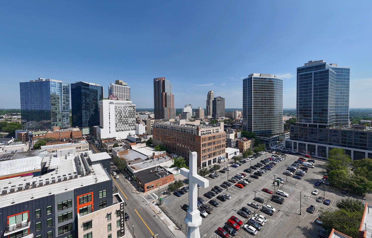
New Rochelle, NY
Speed mattered: delivering results in weeks instead of months meant crews could schedule fixes sooner and residents saw improvements faster.

New Rochelle, NY Infrastructure Assessment
Summary
- 180 roadway miles scanned and analyzed in weeks, accelerating repairs for residents
- Defensible, citywide paving plan replaced guesswork and complaint-driven decisions
- Clear maps and metrics strengthened council communications and budget confidence
Problem
New Rochelle faced a fast-growing network of aging streets without current, consistent pavement data, making it hard to know which roads to fix or when. Public works staff were stuck playing defense to resident complaints—fielding constant “Why not my road?” questions and struggling to justify decisions in council meetings. Budget planning suffered because there was no accurate, defensible basis to forecast paving needs and allocate funds.
Solution
To change course, the City chose Cyvl to rapidly survey the entire network using vehicle-mounted LiDAR and pavement sensors, scanning 180 roadway miles and capturing high-resolution condition detail. Within weeks—by January 15, 2024—Cyvl’s Infrastructure Intelligence platform transformed the raw data into street-by-street condition scores, distress maps, and prioritized repair lists with clear budget scenarios. The result was a defensible, comprehensive paving program New Rochelle could act on immediately, backed by detailed, actionable pavement condition data for all 180 miles.
Impact
Speed mattered: delivering results in weeks instead of months meant crews could schedule fixes sooner and residents saw improvements faster. With every mile scored and segment priorities clearly ranked within a comprehensive multi-year plan, the City communicated where and why work would happen, reducing confusion and frustration. Transparent data also strengthened budget requests and coordinated projects across utilities, cutting waste and disruption.
- 180 roadway miles scanned with LiDAR and AI analysis delivered by January 15, 2024, giving leaders a citywide view to act immediately
- Detailed, segment-level condition scores and repair lists enabled faster scheduling, so potholes were addressed sooner and driving became safer
- Clear maps and defensible criteria helped town meetings run smoother and reduced “Why not my road?” complaints
- Data-backed budget scenarios showed efficient use of taxpayer dollars and helped public works secure paving funds for the upcoming construction season
- Coordinated planning with utilities and other departments minimized rework and limited resident disruptions and detours
- With up-to-date, trustworthy data, the City moved from reactive maintenance to a confident, proactive program that delivers visible improvements faster


-%20logo%20(unpadded).png.png)