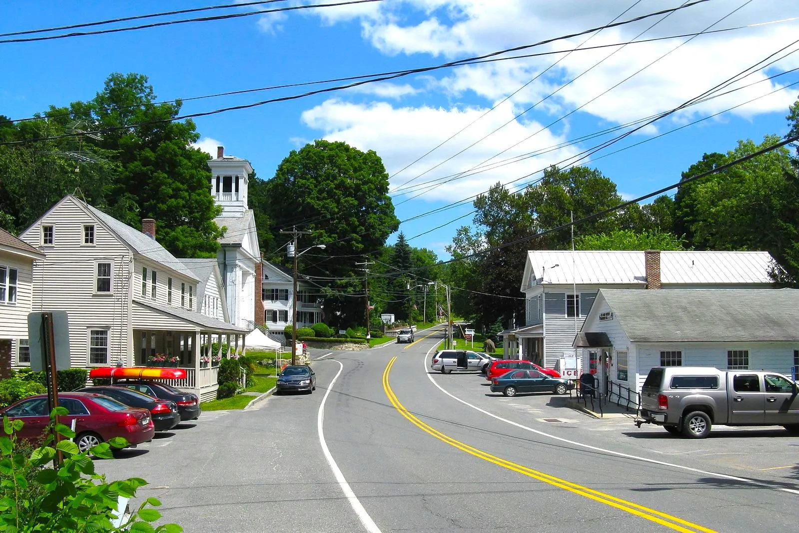
Monterey, MA
With 48 roadway miles scanned and detailed pavement condition data for every segment, Monterey gained a clear map of needs and the ability to schedule work for maximum resident benefit.
Monterey, MA Infrastructure Assessment
Summary
- 48 roadway miles scanned and analyzed with LiDAR and AI, with results delivered on July 6, 2023, enabling action in weeks, not months
- Data-backed pavement condition scores and prioritized repair lists gave Monterey a defensible plan that reduced complaints and sped up visible fixes
- Residents benefited from safer, smoother roads and clear communication about which streets were next and why
Problem
Monterey manages a rural network that endures harsh freeze–thaw cycles and seasonal traffic, yet leaders lacked current, consistent pavement data across the town. With outdated or inconsistent data and no clear prioritization method, staff struggled to decide which streets to fix and when, often reacting to phone calls and emails instead of a plan. In public meetings they were asked “Why not my road?” and found it hard to defend budgets without proof that funds were being allocated efficiently and fairly.
Solution
To break the cycle, Monterey chose Cyvl to rapidly baseline the condition of every public roadway using vehicle-mounted LiDAR and sensors. Cyvl’s Infrastructure Intelligence platform used AI to turn the field data into segment-level condition scores, deterioration insights, prioritized repair and paving lists, and ready-to-share reports. Delivered on July 6, 2023—weeks, not months—the results equipped Monterey with a defensible, transparent plan to schedule work, communicate decisions, and move from problem to project faster.
Impact
With 48 roadway miles scanned and detailed pavement condition data for every segment, Monterey gained a clear map of needs and the ability to schedule work for maximum resident benefit. Because the analysis and reports were delivered on July 6, 2023, the town cut the time between data collection and construction planning, accelerating fixes residents could see and feel. Data clarity also helped leaders show efficient use of taxpayer dollars and secure support for smart investments in maintenance and paving.
- 48 roadway miles scanned with LiDAR and sensors, producing detailed pavement condition data for every segment residents drive daily
- Weeks-not-months turnaround, with results delivered on July 6, 2023, reducing the gap between surveys and pavement work
- Immediate ability to address the highest-priority segments first within a comprehensive, data-driven paving plan
- Noticeable reduction in complaint-driven work; staff now explain what gets fixed and when, backed by transparent data
- Stronger budget justification and scheduling efficiency, so crews spend more time fixing roads and less time fielding calls and emails
- Town meetings run smoother with maps and scores residents can trust
- Budget allocation, public communication, and work scheduling are faster and simpler with trustworthy data guiding every decision


-%20logo%20(unpadded).png.png)