Minnetrista, MN
With objective data across all 50 miles, Minnetrista compressed planning that once took months into weeks, so maintenance crews could mobilize sooner and residents saw improvements faster.
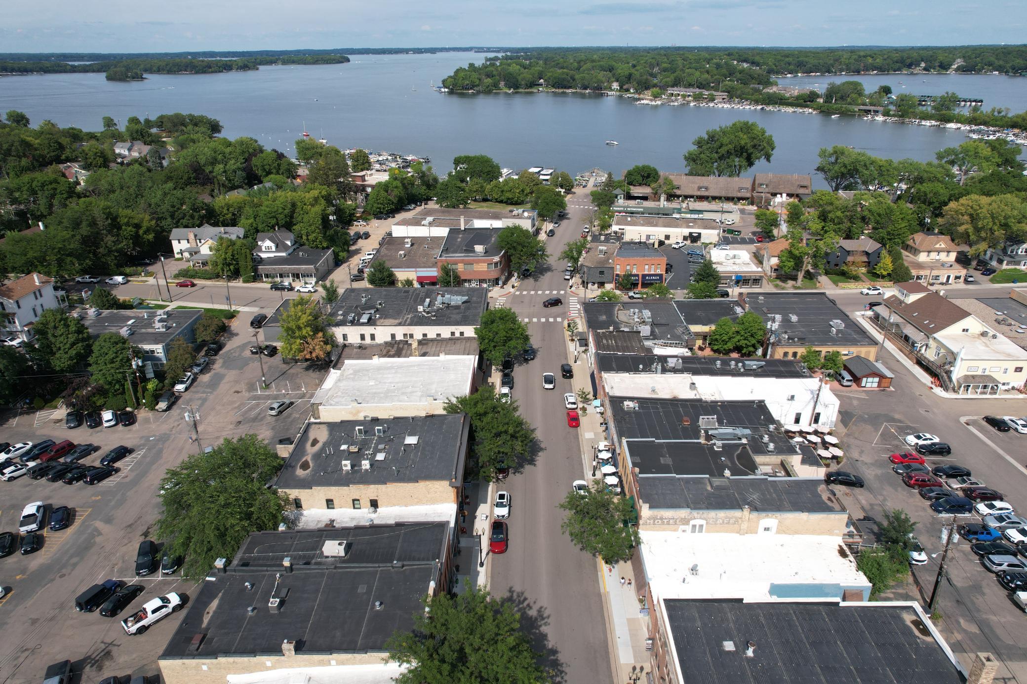
Minnetrista, MN Infrastructure Assessment
Summary
- 50 roadway miles scanned and analyzed with LiDAR, with results delivered by July 30, 2024
- Actionable pavement condition data enabled objective, defensible paving plans in weeks
- Faster fixes, safer streets, and clearer communication for Minnetrista residents
Problem
Minnetrista’s public works team lacked current, consistent pavement data across the network, making it difficult to build accurate paving budgets and prioritize the right projects. The city often had to play defense to resident complaints—answering “Why not my road?”—and struggled to justify decisions in council meetings without hard evidence. Manual windshield surveys took too long and the information was outdated by the time planning began, keeping the city reactive rather than strategic.
Solution
To move fast, Minnetrista chose Cyvl to rapidly survey 50 roadway miles using vehicle‑mounted LiDAR and sensors. Within weeks, Cyvl’s Infrastructure Intelligence platform used AI to convert raw data into detailed pavement condition scores, distress mapping, and an objective, prioritized repair list aligned to funding and scheduling constraints. The city received clear, defensible plans and reports by July 30, 2024, empowering leaders to communicate decisions, align budgets, and schedule work with confidence.
Impact
With objective data across all 50 miles, Minnetrista compressed planning that once took months into weeks, so maintenance crews could mobilize sooner and residents saw improvements faster. City leaders now answer questions with transparent maps, condition scores, and project timelines, reducing friction in town meetings and online. Work programs focus on the most critical segments while preserving good roads, stretching taxpayer dollars further and improving daily travel safety.
- 50 roadway miles scanned with LiDAR and sensors, delivering detailed, actionable pavement condition data for every segment
- Reports and GIS layers delivered by July 30, 2024, turning budget justification, public communication, and scheduling into a fast, defensible process
- Residents see quicker pothole responses and smoother commutes as high‑priority segments are addressed first
- Fewer 311 complaints as the city shares clear “what, where, and when” plans backed by objective data
- Safer streets and fewer flat tires as severe distresses are identified and fixed sooner
- Easier funding approvals as leaders demonstrate efficient, transparent use of taxpayer dollars with data‑driven plans


-%20logo%20(unpadded).png.png)