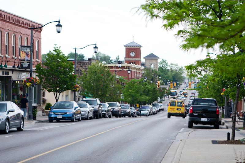
Milton, MA
Milton moved from reactive decision-making to a confident, proactive program grounded in current, trustworthy data.

Milton, MA Infrastructure Assessment
Summary
- Citywide LiDAR survey of 97 roadway miles delivered in weeks, not months
- Data-driven, defensible paving plan that residents can understand and trust
- Faster repairs, safer streets, and clearer communication for taxpayers
Problem
Milton, MA faced growing pavement maintenance needs across neighborhood streets and commuter corridors without a clear, current picture of road conditions. Outdated or inconsistent data made it hard to build defensible paving plans and set reliable budgets, leaving leaders uncertain in public meetings. The team often had to react to complaints and answer “Why not my road?” without objective evidence, which strained trust and slowed progress.
Solution
Milton chose Cyvl to rapidly survey the entire network using vehicle-mounted LiDAR and sensors, scanning 97 roadway miles with consistent, high-resolution coverage. Cyvl’s Infrastructure Intelligence platform used AI to create block-by-block pavement condition scores, prioritized repair lists, and defensible plans and reports that align projects with available budgets. Delivered by April 17, 2025, the city received detailed, actionable pavement condition data to make faster decisions, communicate tradeoffs clearly, and schedule work sooner.
Impact
Milton moved from reactive decision-making to a confident, proactive program grounded in current, trustworthy data. With results delivered in weeks rather than months, the city reduced the time between data collection and project implementation—speeding visible improvements for residents. The scan of 97 roadway miles gave public works an objective foundation to plan work, justify budgets, and communicate timelines clearly to the community.
- By April 17, 2025, leaders had pavement condition scores and prioritized repair lists in hand, enabling quicker scheduling and faster repairs residents could see.
- Faster planning cycles meant potholes and surface failures could be addressed sooner, improving safety and reducing vehicle damage.
- Town meetings now run smoother because staff can show objective maps, scores, and budget tradeoffs that explain why projects are sequenced as they are.
- Fewer 311 complaints as residents receive clear timelines and status updates tied to transparent, data-backed decisions.
- Budget allocation is more efficient because projects are aligned to need and cost, demonstrating strong stewardship of taxpayer dollars.
- Public works can sequence the highest-need corridors first using an objective prioritization method, accelerating benefits where they matter most.
- With detailed, actionable pavement condition data for the entire network, creating a comprehensive multi-year plan takes less time—and leads to faster, more visible improvements on the ground.


-%20logo%20(unpadded).png.png)