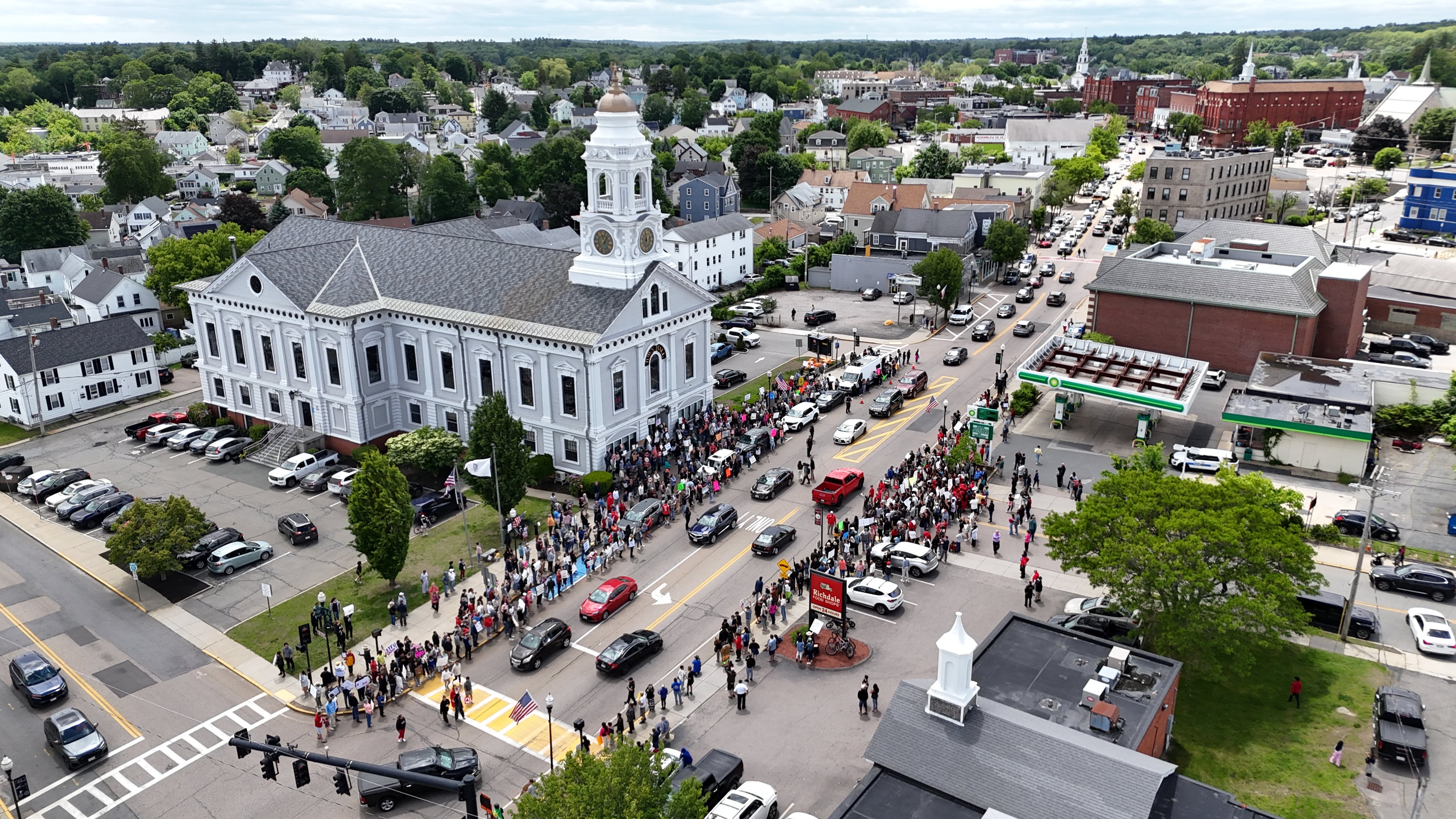
Milford, MA
By September 9, 2022, Milford had a full network baseline and clear priorities built from trusted data, not guesswork.

Milford, MA Infrastructure Assessment
Summary
- 110 roadway miles scanned and analyzed in weeks, not months
- Citywide pavement condition scores and an actionable, defensible paving plan
- Faster, safer repairs and smoother commutes for residents
- Clear communication that reduces complaints and builds trust
Problem
Milford’s public works team faced growing pressure as residents reported potholes across town and asked “Why not my road?” during council meetings. With outdated and inconsistent pavement data, the city could not confidently say which streets needed work or when, making it hard to build defensible paving plans and set accurate budgets. Manual windshield surveys were slow and inconsistent, so by the time reports were compiled, the information was already stale, keeping crews reactive to 311 calls instead of working from a clear, citywide plan.
Solution
Milford chose Cyvl’s LiDAR and sensor-based roadway survey to rapidly capture a complete, objective dataset across 110 miles of streets. Using the Infrastructure Intelligence platform, AI converted the raw data into pavement condition scores, prioritized repair lists, and scenario-based plans that tied budgets to outcomes the city could defend. The city received detailed, actionable pavement condition data and reporting in weeks, enabling leaders to make better decisions faster and communicate the plan clearly to residents.
Impact
By September 9, 2022, Milford had a full network baseline and clear priorities built from trusted data, not guesswork. Crews could schedule near-term patching and line up resurfacing work with confidence, shortening the time between assessment and action. Residents benefited from faster fixes, safer streets, and transparent timelines that explained what would be repaired, when, and why.
- 110 roadway miles scanned with LiDAR and advanced sensors, producing objective condition scores for every block
- Delivery by September 9, 2022 provided a citywide baseline in weeks, not months, accelerating fall repairs and spring resurfacing plans
- Prioritized repair lists and defensible plans made budget allocation, public communication, and work scheduling straightforward
- Fewer 311 complaints and smoother town meetings as leaders clearly justified decisions with data
- Crews focused on the highest-need corridors first using transparent criteria, improving safety and ride quality faster for residents


-%20logo%20(unpadded).png.png)