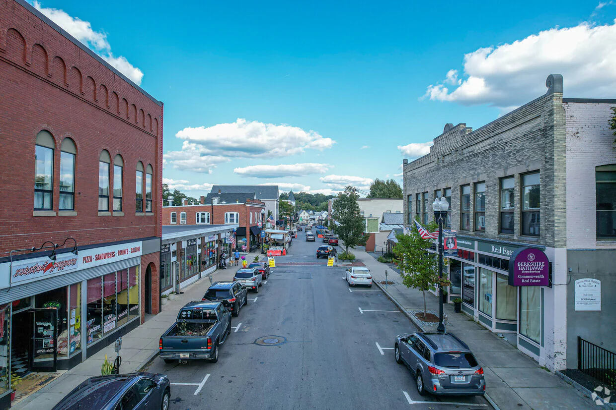
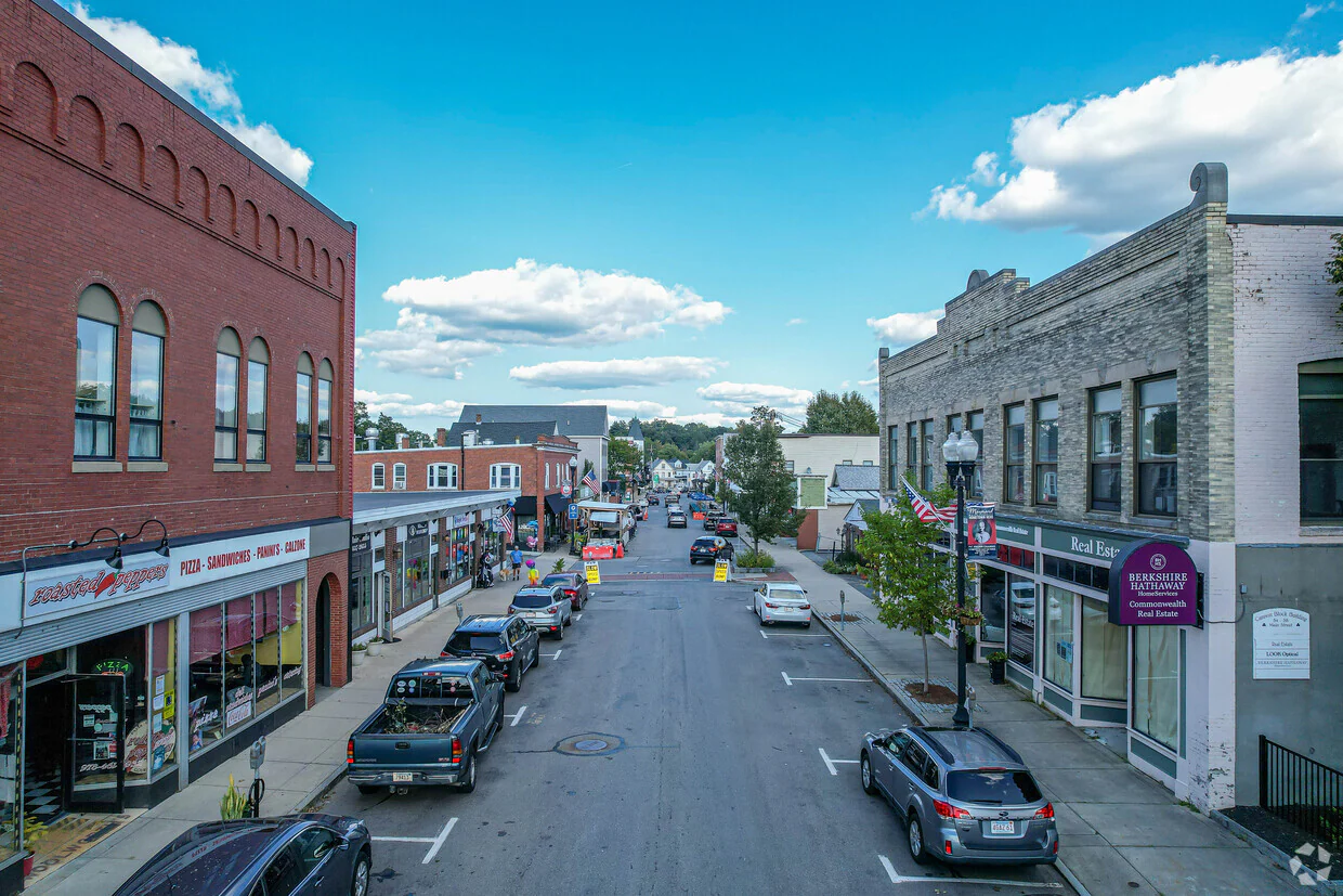
Maynard, MA
With detailed, actionable pavement condition data covering all 47 miles, Maynard accelerated project planning and put crews to work sooner.

Maynard, MA Infrastructure Assessment
Summary
- 47 roadway miles scanned and analyzed in weeks, giving Maynard a defensible, data-driven paving plan residents can see and trust.
- Fast delivery on November 3, 2023 enabled quicker repairs and safer, smoother drives for families and commuters.
- Clear condition scores and prioritized repair lists helped leaders allocate taxpayer dollars efficiently.
Problem
Maynard’s public works team had fragmented, outdated road condition notes and limited visibility across the network, making it hard to know which streets to fix and when. Without accurate, consistent data, paving budgets were difficult to defend, and leaders faced regular questions at town meetings about why some streets moved ahead of others. Crews often had to respond to complaints and short-term issues instead of executing a clear, transparent, and strategic work plan for the entire community.
Solution
Maynard chose Cyvl to rapidly survey all 47 roadway miles using vehicle-mounted LiDAR and advanced sensors, capturing precise pavement condition at traffic speed. Within weeks, Cyvl delivered results on November 3, 2023 through the Infrastructure Intelligence platform, where AI transformed raw data into street-level condition scores, maps, and reports. The city gained prioritized repair lists and defensible multi-year plans grounded in objective data, enabling faster decisions and immediate action on high-priority needs.
Impact
With detailed, actionable pavement condition data covering all 47 miles, Maynard accelerated project planning and put crews to work sooner. Leaders used clear visuals and metrics to communicate tradeoffs, streamline budget approvals, and set expectations with residents. The shorter timeline from survey to plan meant less time living with deteriorated pavement and quicker relief for drivers, cyclists, and emergency services.
- 47 roadway miles scanned with LiDAR and advanced sensors, producing network-wide condition scores and maps residents can understand.
- Results delivered in weeks by November 3, 2023, enabling earlier budgeting, contracting, and crew scheduling.
- Prioritized repair lists and defensible plans helped fix the most critical segments first and reduce the time residents drive on damaged pavement.
- Clear, defensible data reduced 311 complaints and made council and town meetings faster and less contentious.
- Transparent cost and condition reporting improved confidence in budget requests and supported efficient use of taxpayer dollars.
- Faster identification and treatment of hazards, such as severe cracking and rutting, improved safety for drivers, cyclists, school buses, and emergency vehicles.


-%20logo%20(unpadded).png.png)