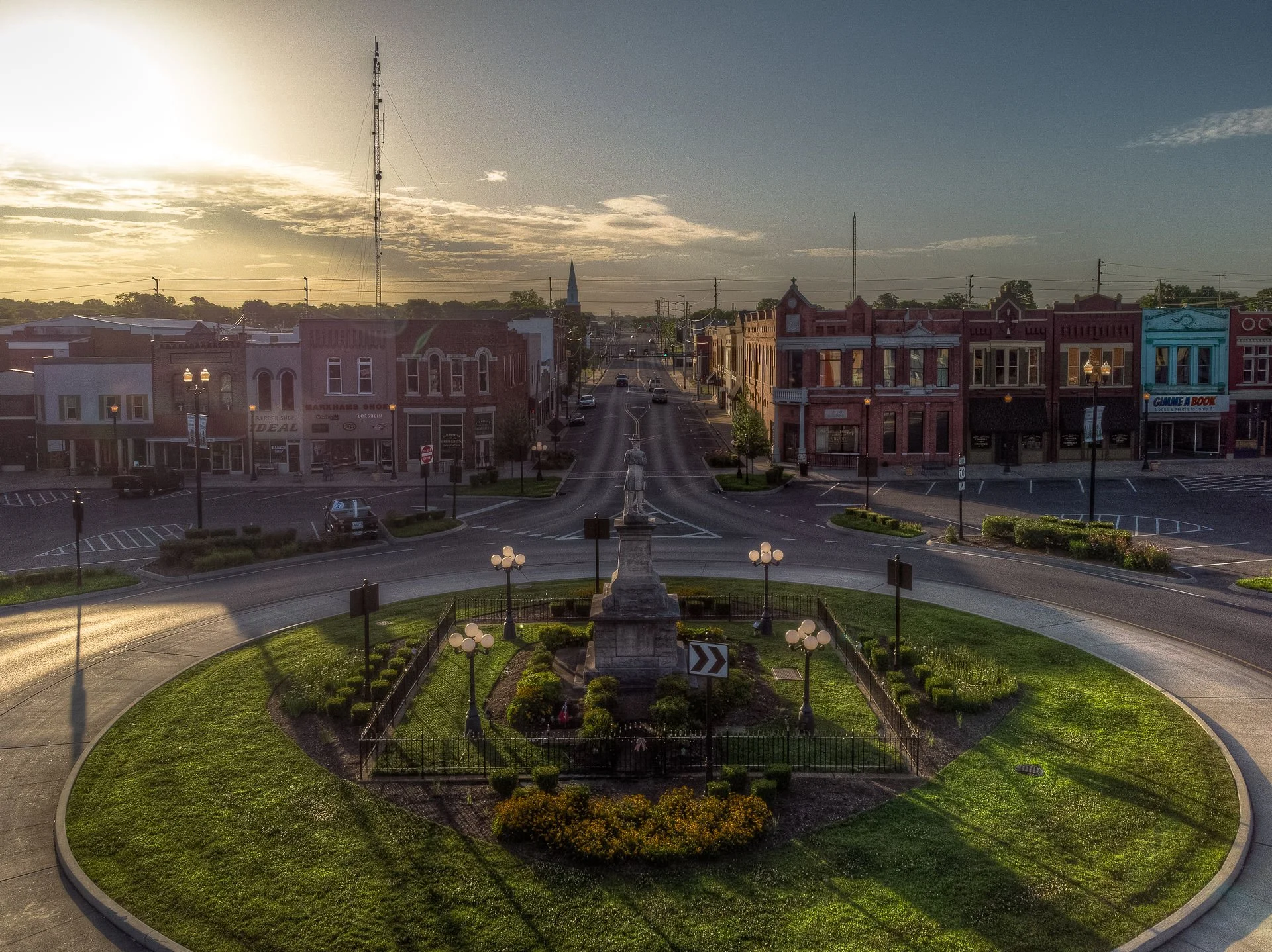
Lebanon, TN
By June 30, 2025, Lebanon had a current, citywide baseline of pavement and roadside assets it could trust.

Lebanon, TN Infrastructure Assessment
Summary
- 850 roadway miles scanned with LiDAR and AI, delivering segment-level pavement condition by June 30, 2025
- 10,550 signs inventoried and 610 guardrails mapped to strengthen safety and everyday reliability for drivers and pedestrians
- Weeks-not-months delivery enabled faster repairs, clearer budgeting, and transparent communication residents can trust
Problem
Lebanon’s rapid growth exposed the limits of outdated and inconsistent street data, making it hard to know which roads to fix and when and leaving paving budgets built on guesswork. Without defensible, current information, staff often played defense in public meetings—fielding 311 calls, answering “Why not my road?,” and appearing reactive instead of strategic. The lack of a clear, data-backed prioritization method delayed projects, fueled frustration, and made it difficult to justify spending taxpayer dollars with confidence.
Solution
To move from reactive to proactive, Lebanon chose Cyvl to quickly measure its network with vehicle-mounted LiDAR and sensors, scanning 850 roadway miles and capturing 10,550 signs and 610 guardrails. Within weeks, Cyvl’s Infrastructure Intelligence platform applied AI to produce detailed, actionable pavement condition data for all 850 miles—complete with segment-level condition scores, mapped distresses, and geolocated imagery—alongside a comprehensive sign and guardrail inventory. With these insights, the city built prioritized repair lists and defensible multi-year plans, supported by clear, ready-to-share reports that accelerate decisions and align staff, leadership, and residents.
Impact
By June 30, 2025, Lebanon had a current, citywide baseline of pavement and roadside assets it could trust. With 850 miles scanned, 10,550 signs inventoried, and 610 guardrails mapped, the city targeted safety and pavement improvements where they matter most for residents. The speed of delivery—weeks instead of months—translated into earlier scheduling, faster construction starts, and a shorter gap between data collection and visible results on the street.
- Faster fixes on the corridors residents use every day because crews receive data-driven project lists and schedules
- Potholes and surface failures identified sooner, so repairs happen before they become safety hazards or costly claims
- Town and council meetings run smoother with clear maps, segment scores, and photos that justify why each road is in the plan
- Fewer 311 complaints as residents see transparent priorities and quicker response to the most critical needs
- Budget allocation is straightforward, helping leaders defend funding requests and prove efficient use of taxpayer dollars
- Public works coordinates crews and contractors earlier, reducing lane closure durations and helping projects finish sooner


-%20logo%20(unpadded).png.png)