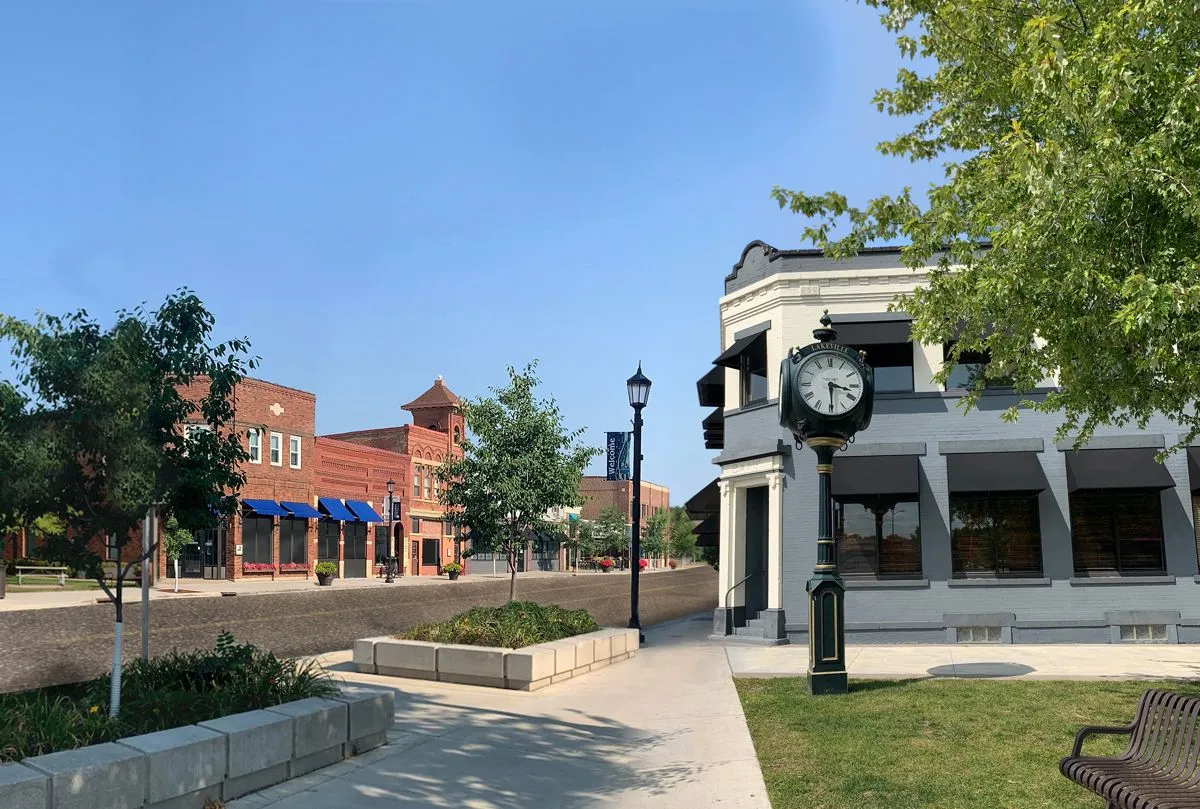
Lakeville, MN
With authoritative, street-level condition data for all 82 miles, Lakeville moved from reactive to proactive, turning weeks of manual analysis into quick, confident action.

Lakeville, MN Infrastructure Assessment
Summary
- 82 roadway miles scanned with LiDAR and sensors, analyzed in weeks to accelerate repairs for residents
- AI-driven condition scores and prioritized repair lists gave Lakeville a clear, defensible plan
- Smoother town meetings, fewer 311 complaints, and faster fixes thanks to transparent data residents can trust
Problem
Lakeville faced mounting pressure to explain road decisions without up-to-date network data, leaving staff unsure which streets to fix or when and making accurate paving budgets hard to defend. Crews were stuck reacting to complaints and doing worst-first patching instead of executing a strategic, long-term work plan with clear priorities. At town meetings, leaders were asked “Why not my road?” but lacked consistent, defensible information to communicate tradeoffs, fueling more 311 calls and email traffic.
Solution
Lakeville chose Cyvl to rapidly survey the entire network; using vehicle-mounted LiDAR and sensors, Cyvl scanned 82 roadway miles and captured high-resolution surface data across the city. Within weeks, Cyvl’s Infrastructure Intelligence platform used AI to convert the raw data into detailed pavement condition scores, block-by-block diagnostics, and prioritized repair lists tied to budget scenarios. Delivered by August 28, 2025, the city received actionable maps, reports, and defensible plans it could use immediately to schedule work, justify funding, and communicate with residents.
Impact
With authoritative, street-level condition data for all 82 miles, Lakeville moved from reactive to proactive, turning weeks of manual analysis into quick, confident action. Because results were delivered on August 28, 2025—weeks instead of months—Public Works could line up crews, contracts, and materials sooner, cutting the time between data collection and visible street fixes. Transparent scoring and map-based priorities now guide budget requests and day-to-day scheduling, which residents experience as faster pothole repairs, smoother commutes, and clearer answers at town hall.
- Detailed, actionable pavement condition data for all 82 roadway miles enables targeted interventions and safer streets sooner
- Weeks-not-months delivery allowed crews to tackle the highest-need segments immediately, shrinking repair backlogs residents feel every day
- Fewer 311 road complaints as priorities, timelines, and tradeoffs are explained with clear, defensible data
- Budget allocation is easier to defend, showing efficient use of taxpayer dollars tied to objective condition scores and lifecycle strategies
- Town meetings run smoother with simple “why this road, why now” explanations backed by maps and reports
- Crews schedule work more efficiently, reducing repeat visits, improving response times, and minimizing traffic disruption
- Proactive maintenance extends pavement life and reduces future costs, protecting taxpayer investments while improving ride quality


-%20logo%20(unpadded).png.png)