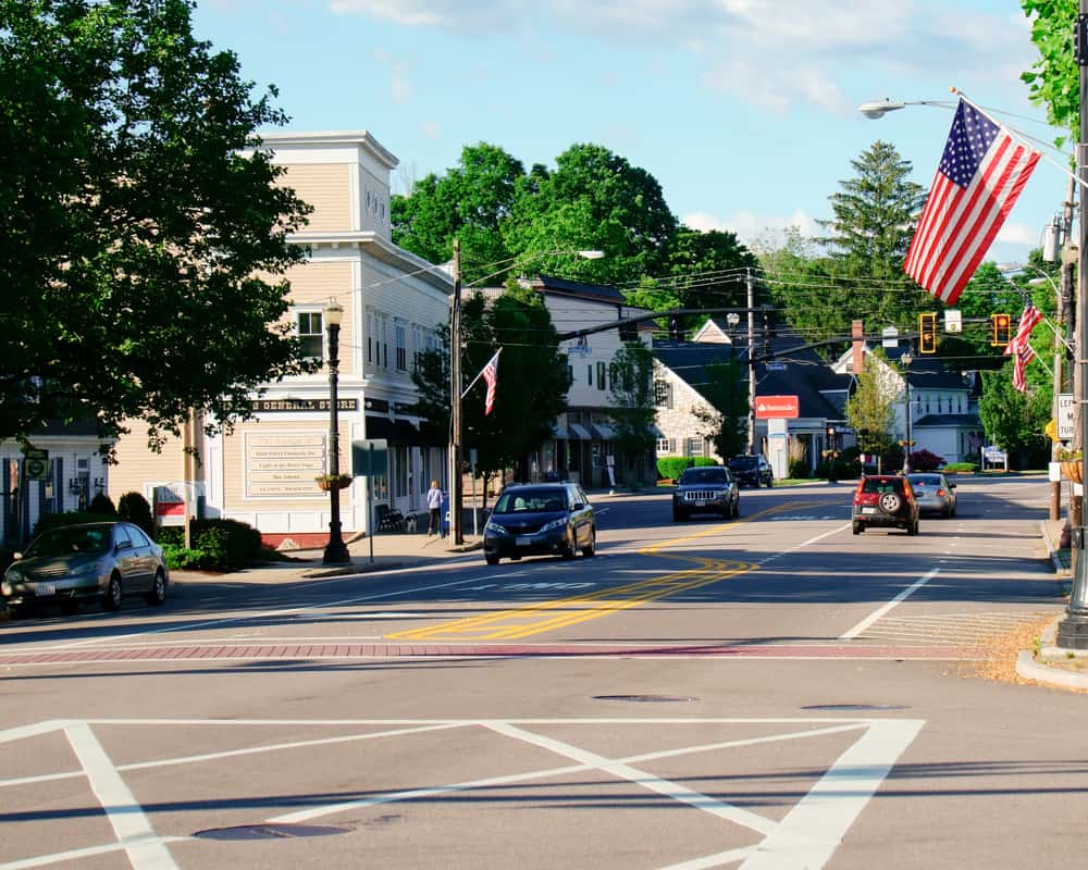
Holliston, MA
Within weeks, Holliston gained a complete, quantified view of its streets and used it to schedule work sooner, not later.

Holliston, MA Infrastructure Assessment
Summary
- 92 roadway miles scanned and scored in weeks, accelerating fixes residents can see
- Defensible, data‑backed paving plan that directs crews to the right blocks at the right time
- Clear communication at town meetings with transparent maps, condition scores, and budget needs
Problem
Holliston’s public works team faced growing pressure to explain why some streets were paved while others waited. With outdated or inconsistent road condition data, staff could not see the true network health or forecast needs with confidence, making it hard to build a plan residents would trust. The team often found themselves playing defense to 311 calls and town‑meeting questions like “Why not my road?”, which slowed progress and risked misallocating limited taxpayer dollars.
Solution
Holliston selected Cyvl to rapidly survey the entire network, capturing 92 roadway miles with vehicle‑mounted LiDAR and high‑resolution sensors and delivering results by May 8, 2023. Using Cyvl’s Infrastructure Intelligence platform, AI transformed the raw measurements into block‑by‑block condition scores, prioritized repair lists, and clear funding scenarios that city leaders could stand behind. The city received detailed, actionable pavement condition data for every mile, enabling a defensible plan and faster decision‑making so crews could move from reactive patching to a confident, proactive program.
Impact
Within weeks, Holliston gained a complete, quantified view of its streets and used it to schedule work sooner, not later. By knowing exactly where conditions and risks were highest across 92 miles, the city could address urgent needs immediately while still executing a balanced, long‑term program residents could follow. The transparent data made budget planning and public communication easier, shortening the time from survey to construction and delivering visible improvements faster.
- Faster pothole response and safer travel as crews target the most impactful segments without delay
- Town meetings run smoother with clear maps, condition scores, and schedules that answer “Why not my road?”
- Fewer 311 complaints as progress is visible and timelines are shared
- Stronger, data‑backed budget requests that demonstrate efficient use of taxpayer dollars
- Work planning and crew scheduling are now faster and easier with prioritized, GIS‑ready lists
- From survey to action in weeks, reducing the gap between data collection and pavement improvements


-%20logo%20(unpadded).png.png)