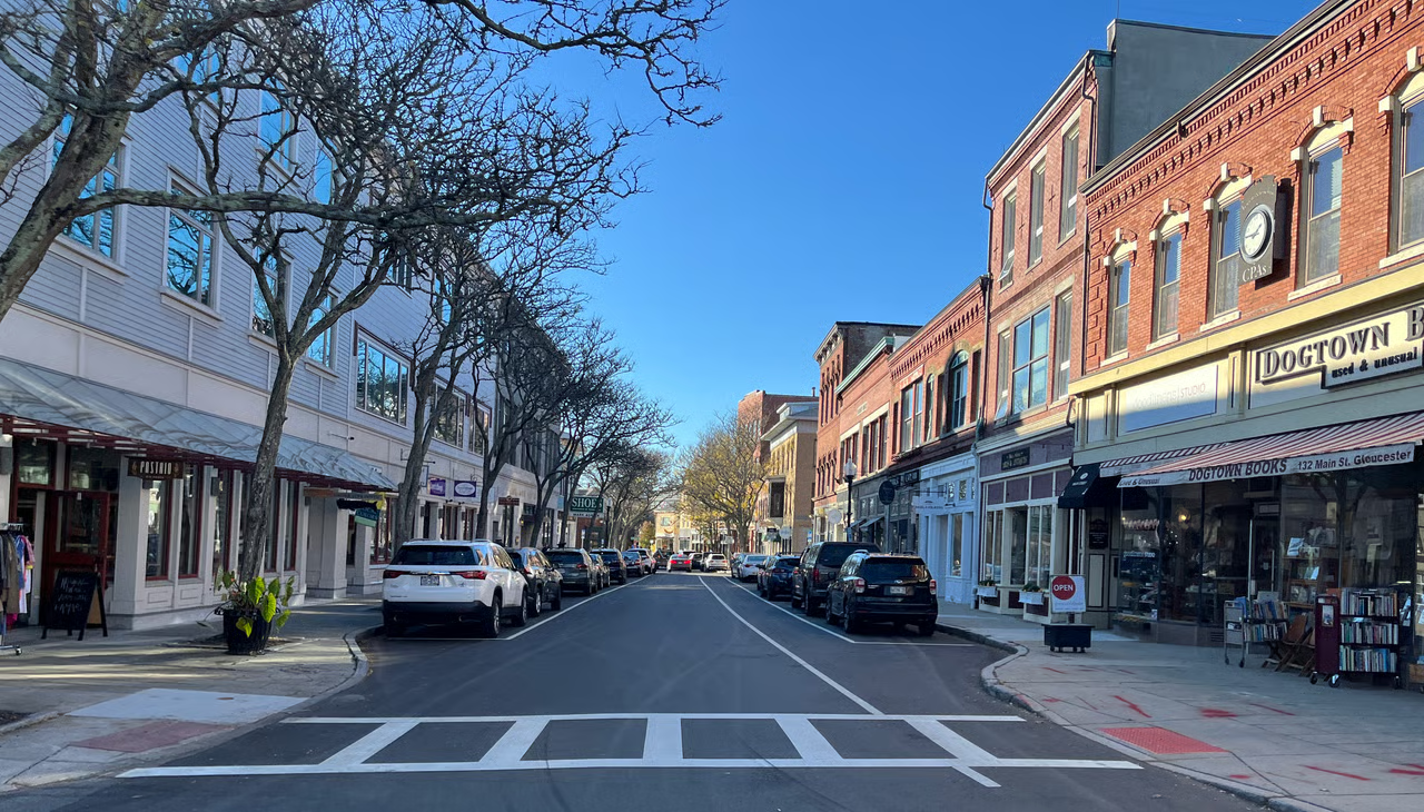
Gloucester, MA
With comprehensive data in hand and delivery measured in weeks, Gloucester moved quickly from discovery to action, accelerating street improvements residents could feel.

Gloucester, MA Infrastructure Assessment
Summary
- 158 roadway miles scanned and analyzed in weeks, delivered by August 19, 2022—faster fixes for residents
- AI condition scores and prioritized repair lists enabled a transparent, defensible paving program
- City moved from reactive complaints to proactive, budget‑smart work that improves safety and ride quality
Problem
Gloucester’s coastal climate and heavy seasonal traffic accelerated pavement deterioration, yet staff were working from outdated or inconsistent data, making it hard to know which roads to fix or when. Without a clear prioritization method, the team often found itself reacting to complaints and answering “Why not my road?” at public meetings. Budget planning was difficult to defend because estimates were based on partial information rather than a comprehensive network view.
Solution
Gloucester chose Cyvl to rapidly survey its entire network using vehicle‑mounted LiDAR and sensors, capturing precise surface condition across 158 miles. Within weeks—delivered by August 19, 2022—Cyvl’s Infrastructure Intelligence platform applied AI to generate condition scores, segment‑level insights, and prioritized repair lists. The city received detailed, actionable pavement condition data and defensible plans and reports to guide budgets, scheduling, and public communication.
Impact
With comprehensive data in hand and delivery measured in weeks, Gloucester moved quickly from discovery to action, accelerating street improvements residents could feel. Decision‑makers gained clear, defensible evidence to explain priorities and schedule crews, reducing delays between assessment and construction. Taxpayer dollars were allocated more efficiently because investments were tied to need, lifecycle value, and measurable outcomes.
- 158 roadway miles scanned with LiDAR and vehicle‑mounted sensors; deliverables received by August 19, 2022 for faster project starts
- Detailed, actionable pavement condition scores for every segment allowed crews to address the highest‑priority needs first, shortening the time to fix potholes and hazards
- Transparent, data‑backed plans reduced 311 volume and “Why not my road?” confrontations, making town meetings smoother and more productive
- Budget scenarios and network‑level forecasts strengthened funding requests and simplified approvals, ensuring efficient use of taxpayer dollars
- Work plans created in weeks—rather than months—meant quicker mobilization, less disruption, and safer work zones for residents and crews
- Clear timelines and maps improved communication with neighborhoods, so residents know what’s coming and when
- Safer, smoother routes improved daily commutes and supported reliable access for school buses and emergency responders


-%20logo%20(unpadded).png.png)