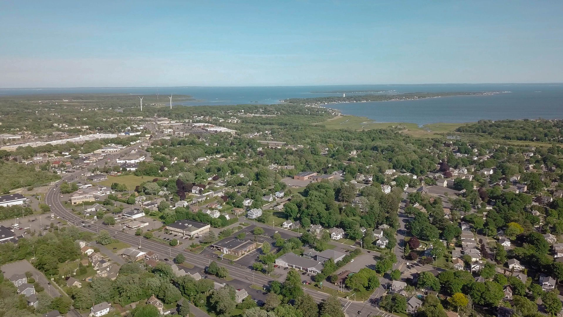
Fairhaven, MA
By June 27, 2023, Cyvl delivered a complete assessment of 87 roadway miles, giving Fairhaven instant clarity on network health and investment needs.
Fairhaven, MA Infrastructure Assessment
Summary
- Data-driven road decisions delivered in weeks, not months, accelerating visible fixes for residents
- 87 roadway miles scanned and scored to build a defensible, transparent paving program
- Clear reports that reduce 311 complaints and help win funding for more repairs
Problem
Fairhaven’s team was working from outdated and inconsistent pavement information, which made it hard to know which roads to fix or when. Without credible network-wide data, paving budgets were difficult to defend and plans often shifted in response to complaints instead of a clear prioritization method. Manual windshield surveys took too long and the findings were stale by the time they reached public meetings, creating uncertainty for leaders and frustration for residents.
Solution
Fairhaven chose Cyvl to quickly capture the entire roadway network using vehicle-mounted LiDAR and calibrated sensors, producing a comprehensive, objective view of street conditions. Cyvl’s Infrastructure Intelligence platform applied AI to convert the scans into detailed, actionable pavement condition data, block-by-block scores, and prioritized repair lists aligned to Fairhaven’s goals. Within weeks, the Town had defensible plans and easy-to-share reports that equipped leaders to make decisions faster, communicate tradeoffs clearly, and schedule work with confidence.
Impact
By June 27, 2023, Cyvl delivered a complete assessment of 87 roadway miles, giving Fairhaven instant clarity on network health and investment needs. With trustworthy data in weeks instead of months, the Town shortened the time between inspection and project implementation, speeding up improvements residents can see and feel. The same data now backs up budget requests and town-hall explanations, reducing complaints and allowing crews to focus on the most critical needs first.
- 87 roadway miles scanned and scored with LiDAR, delivered by June 27, 2023, enabling immediate, targeted maintenance
- Detailed, actionable pavement condition data turned into a multi-year paving and preservation program developed in days, not months
- Faster pothole and patch response times, leading to fewer 311 complaints and smoother daily commutes
- Clear, defensible reports that help leaders explain “why this road, why now,” making town meetings more productive and less contentious
- Better budget allocation and scheduling, resulting in more efficient use of taxpayer dollars and more lane-miles improved each construction season


-%20logo%20(unpadded).png.png)