Easthampton, MA
By June 20, 2025, Easthampton had a complete, current dataset and plan covering 89 roadway miles—delivered in weeks, not months—so crews could act within the same construction season.
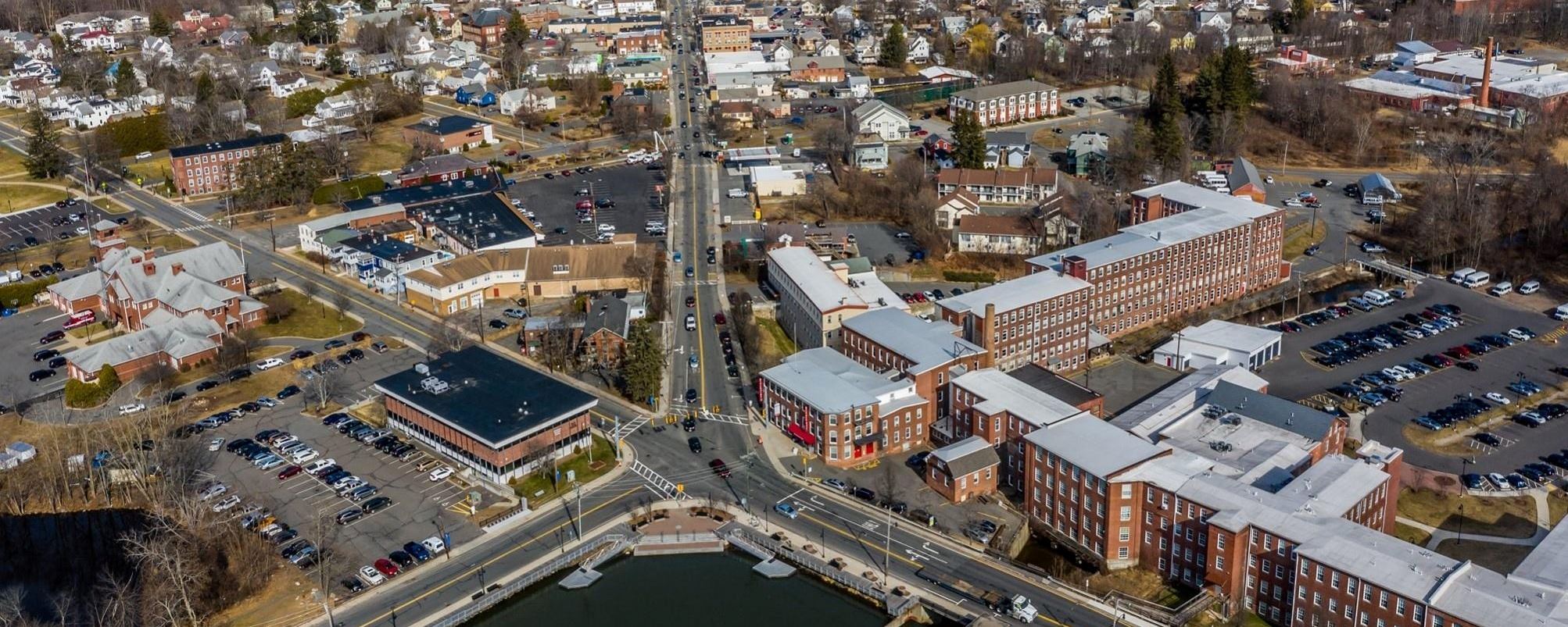
Easthampton, MA Infrastructure Assessment
Summary
- 89 roadway miles scanned and analyzed with LiDAR, delivered by June 20, 2025
- Actionable pavement condition data turned into a clear, defensible paving program
- Faster repairs and safer streets for residents within weeks, not months
Problem
Easthampton faced mounting pressure to fix streets without reliable, current pavement data, making it hard to know which roads to fix or when and leading to budget guesswork. With residents asking “Why not my road?” and frequent questions at town meetings, the city struggled to justify decisions and stay ahead of 311 complaints. Manual spot checks and legacy spreadsheets were inconsistent and slow, leaving leaders reactive during a short paving season.
Solution
Easthampton chose a data-driven approach and used Cyvl to rapidly survey the city’s network with vehicle-mounted LiDAR and sensors, capturing precise surface conditions across 89 miles. Cyvl’s Infrastructure Intelligence platform used AI to transform those scans into detailed, actionable pavement condition data, including condition scores, distress mapping, prioritized repair lists, and budget scenarios. With defensible analytics and resident-ready reports in hand, the city built a comprehensive plan and moved from reactive patching to proactive, transparent maintenance and capital work.
Impact
By June 20, 2025, Easthampton had a complete, current dataset and plan covering 89 roadway miles—delivered in weeks, not months—so crews could act within the same construction season. The city used trustworthy metrics and clear prioritization rules to schedule repairs earlier, communicate timelines confidently, and direct resources to the most critical needs first. Residents benefit from quicker fixes, smoother commutes, and a transparent explanation of what gets done and when.
- 89 roadway miles scanned and scored, producing street-level repair priorities and schedules ready for immediate execution
- Weeks‑not‑months delivery enabled earlier work orders, shrinking the time between survey, design, and paving for faster resident benefits
- Clear, defensible plans reduced 311 pressure as crews address top-priority corridors and communicate project timelines
- Stronger budget justification and faster approvals, with data-backed cost and scope for each segment improving taxpayer efficiency
- Budget allocation, public communication, and crew scheduling are simpler and faster with trusted data guiding every decision


-%20logo%20(unpadded).png.png)