Duxbury, MA
By September 5, 2024, Duxbury had a complete, trusted picture of every lane mile and traffic control sign needed to guide near-term paving and maintenance.
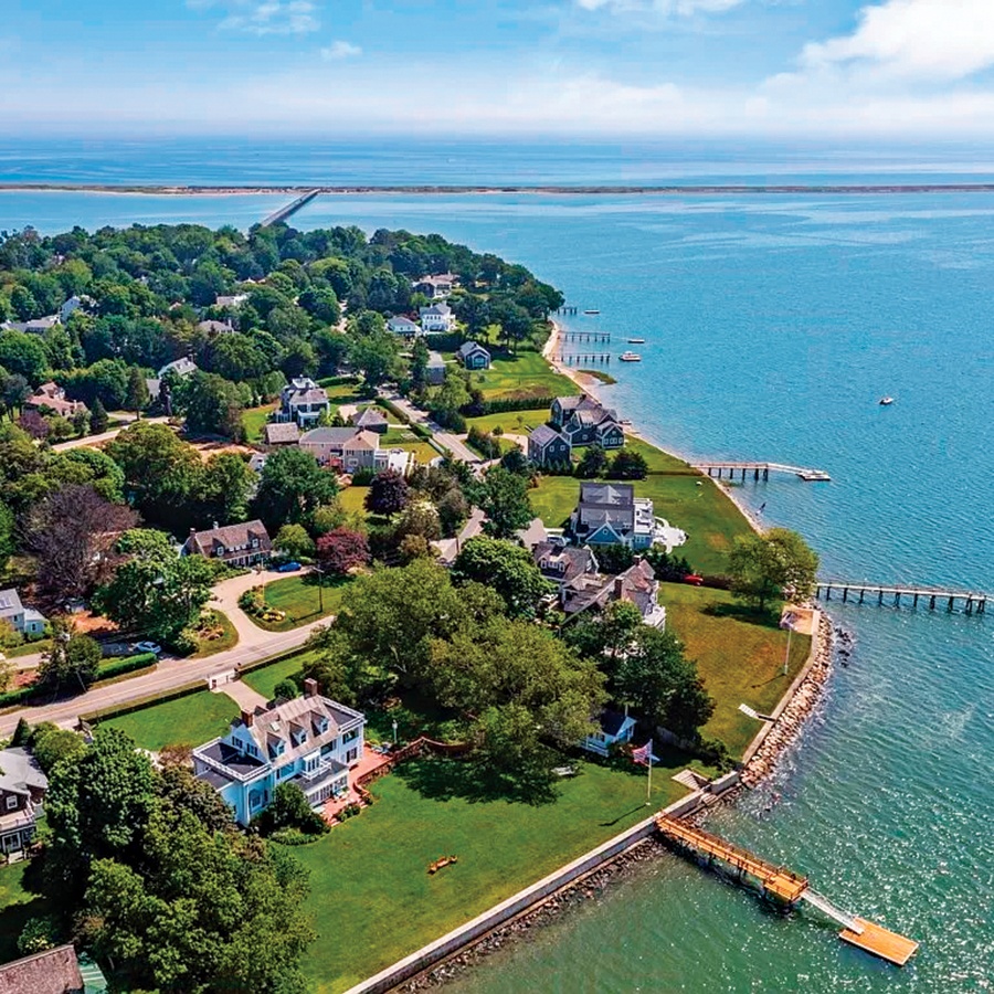
Duxbury, MA Infrastructure Assessment
Summary
- 110 roadway miles scanned and 2,154 signs inventoried by September 5, 2024—repairs move faster for residents
- Actionable condition scores and prioritized work lists enable transparent, defensible decisions
- Weeks-not-months delivery maximizes taxpayer dollars and improves safety on key routes
Problem
Duxbury’s coastal roadway network faces steady wear from freeze-thaw cycles and seasonal traffic, stressing pavement and roadside assets. The town relied on outdated or inconsistent information, making it difficult to know which roads to fix, when to schedule work, or how much to budget. Without clear, current data, leaders often played defense to resident complaints and answered “Why not my road?” at town meetings without strong evidence to justify choices.
Solution
Duxbury selected Cyvl to run a rapid, vehicle-based LiDAR and sensor survey across 110 roadway miles, capturing pavement distresses and inventorying 2,154 signs with high accuracy. Within weeks, the Infrastructure Intelligence platform used AI to convert raw field data into detailed pavement condition scores, sign compliance insights, and GIS-ready layers the town could use immediately. The result was prioritized repair lists and defensible, budget-aligned plans that let staff make faster, confident decisions and communicate them clearly to residents.
Impact
By September 5, 2024, Duxbury had a complete, trusted picture of every lane mile and traffic control sign needed to guide near-term paving and maintenance. With reliable condition scores and clear priorities, the town shortened planning timelines from months to weeks, accelerating construction schedules and contractor mobilization. Residents saw quicker responses on high-need corridors, fewer surprises, and clear explanations of what gets fixed and when.
- 110 roadway miles scanned with LiDAR produced street-level condition scores, enabling targeted fixes that residents can see quickly
- 2,154 signs inventoried improved safety at intersections and school zones and accelerated compliance and replacement work
- Data delivered by September 5, 2024 compressed planning from months to weeks, so crews got on the street faster
- Clear, defensible maps and reports reduced 311 complaints and made town meetings smoother with transparent answers
- Budget requests and allocations are easier to defend, directing taxpayer dollars to the highest-impact projects
- Work scheduling, detours, and contractor coordination are faster and safer using prioritized segment lists


-%20logo%20(unpadded).png.png)