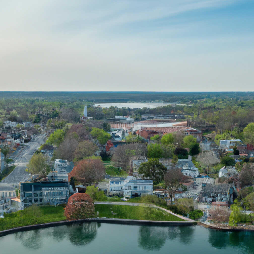
Danvers, MA
With current, network-wide condition data in hand, Danvers shifted from reactive decisions to a proactive paving and preservation program residents can see and feel.
Danvers, MA Infrastructure Assessment
Summary
- 109 roadway miles surveyed in weeks, delivering actionable pavement condition data by June 21, 2022
- Danvers gained a defensible, data-driven paving plan that speeds visible repairs for residents
- Clear reports focused taxpayer dollars where they matter most, improving safety and ride quality sooner
- Faster path from assessment to action so neighborhoods see smoother streets without long delays
Problem
Danvers, MA faced growing pavement deterioration across commuter routes and neighborhood streets, while residents expected quick, visible results. Without current, consistent street data, the city struggled to know which roads to fix and when, defend paving budgets, and build a work plan that could stand up in public meetings. Manual windshield surveys were slow and inconsistent, forcing staff to react to complaints and answer constant “Why not my road?” questions instead of executing a strategic, town-wide program.
Solution
Danvers chose Cyvl to rapidly survey the entire network with vehicle-mounted LiDAR and sensors, capturing high-resolution surface and geometry data across 109 roadway miles. Cyvl’s Infrastructure Intelligence platform used AI to convert those scans into detailed pavement condition scores, segment-level maps, prioritized repair lists, and budget-ready reports. Delivered in weeks—by June 21, 2022—the city gained a defensible plan and the ability to act faster with confidence, not guesswork.
Impact
With current, network-wide condition data in hand, Danvers shifted from reactive decisions to a proactive paving and preservation program residents can see and feel. The team translated results into clear project lists, timelines, and budget scenarios that direct dollars to the most impactful work, shortening the time between assessment and construction. Fast delivery meant less waiting and more resurfacing, sealing, and patching before problems spread, improving safety and ride quality sooner.
- 109 roadway miles scanned with LiDAR and sensors, producing street-by-street condition scores residents can understand
- Actionable reports delivered by June 21, 2022—weeks, not months—so field crews moved from assessment to construction faster
- Data-driven paving plan that reduces 311 complaints and makes town meetings smoother with clear, defensible explanations
- Budget scenarios that show the impact of each dollar, helping leadership secure funding and schedule work efficiently
- Targeted preservation and rehabilitation that fixes urgent issues while protecting good roads, improving safety and ride quality
- Clear dashboards streamline budget allocation, public communication, and work scheduling, turning plans into action without delay


-%20logo%20(unpadded).png.png)