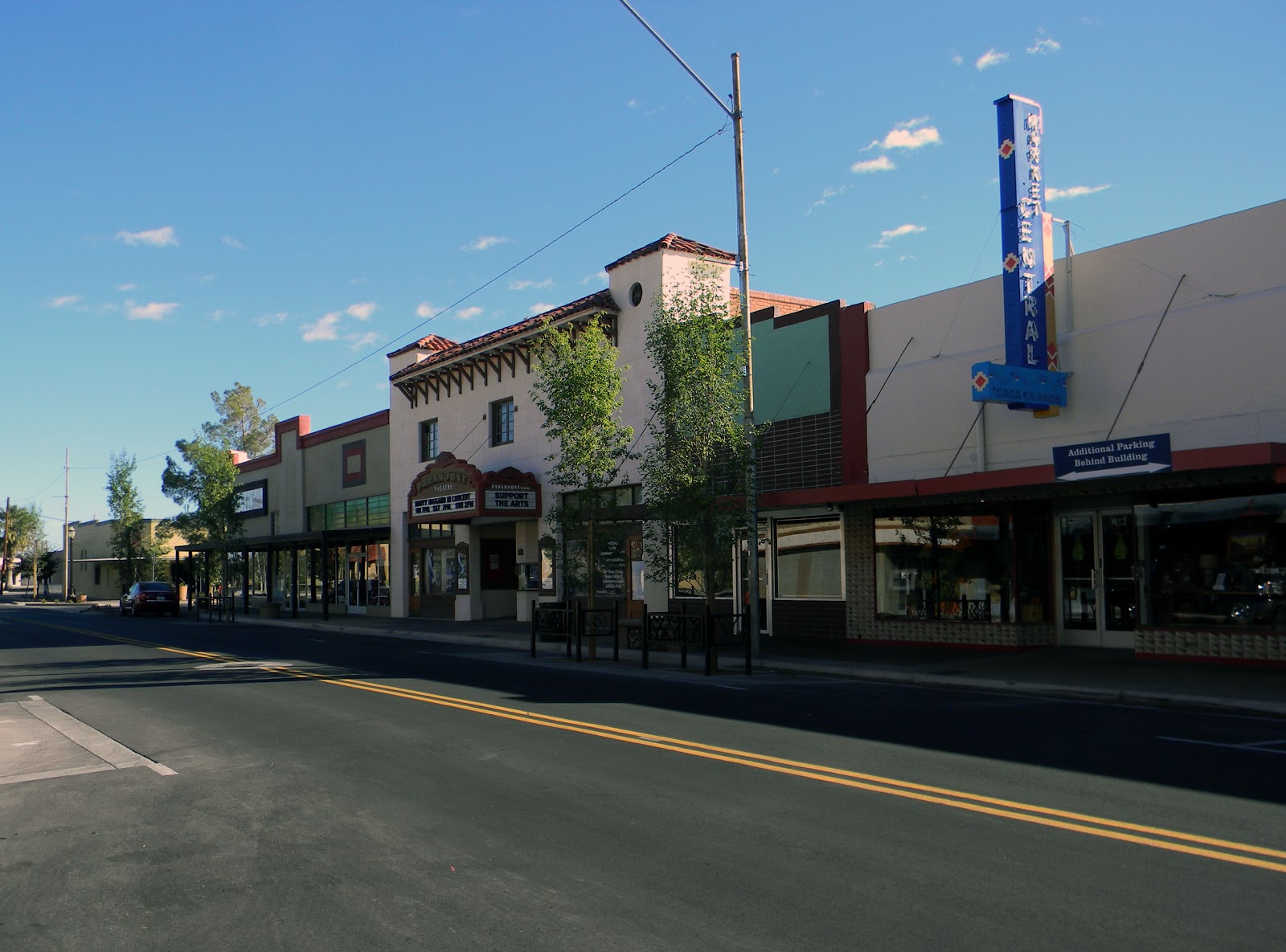
Casa Grande, AZ
With objective data in hand, Casa Grande moved from reactive firefighting to a confident, proactive program focused on resident safety and mobility.
Casa Grande, AZ Infrastructure Assessment
Summary
- 10 roadway miles scanned with LiDAR and sensors; actionable results delivered by April 18, 2025
- Weeks-not-months turnaround accelerated street repairs and safer daily commutes for residents
- Clear, defensible plans reduced 311 pressure and made council communication straightforward
Problem
Casa Grande’s desert climate accelerates pavement oxidation and cracking, but the city lacked current, consistent pavement condition data, making it hard to know which roads to fix or when and leaving paving budgets dependent on guesswork. Without a clear prioritization method, the team was often playing defense to resident complaints, fielding constant “Why not my road?” questions and struggling to justify choices in public meetings. Manual windshield surveys were slow, inconsistent, and risky on busy corridors, and by the time reports were compiled the information was already outdated.
Solution
Casa Grande chose Cyvl to rapidly assess priority corridors, scanning 10 roadway miles with vehicle-mounted LiDAR and calibrated sensors and delivering results by April 18, 2025—weeks, not months. Cyvl’s Infrastructure Intelligence platform used AI to convert point clouds and imagery into block-by-block condition scores, distress classifications, and a prioritized repair list aligned to budget and operations. The city received detailed, actionable pavement condition data for those 10 miles, plus defensible paving scenarios and clear reports that made it easy to brief council and move directly into scheduling.
Impact
With objective data in hand, Casa Grande moved from reactive firefighting to a confident, proactive program focused on resident safety and mobility. Because results arrived in weeks, crews could schedule repairs sooner, shortening the time between data collection and on-street improvements. The city used condition scores and prioritized lists to sequence near-term fixes and plan multi-year preservation, making budget allocation, public communication, and work scheduling straightforward.
- 10 roadway miles scanned with LiDAR and sensors, producing block-level condition scores that make priorities transparent to residents
- Weeks-not-months delivery enabled crews to address safety-critical segments sooner, improving ride quality and reducing flat tires
- Data-backed plans reduced 311 complaints and the “Why not my road?” debate by tying choices to clear, objective metrics
- Council briefings run smoother with defensible scenarios that show expected network improvement and efficient use of taxpayer dollars
- Public works schedules work windows with confidence, coordinating with utilities to minimize disruption and complete more repairs faster


-%20logo%20(unpadded).png.png)