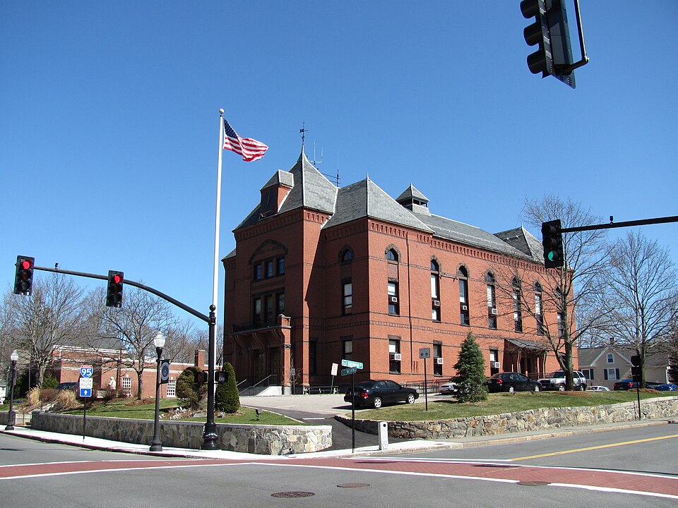
Canton, MA
Armed with a single source of truth, Canton aligned budgets, work plans, and communications around the same objective data.

Canton, MA Infrastructure Assessment
Summary
- Weeks‑not‑months delivery let Canton speed visible road repairs residents could see and feel
- 95 roadway miles scanned and 3,265 signs inventoried created a defensible, citywide plan
- Clear data streamlined budgeting, scheduling, and public communication—reducing complaints and delays
Problem
Canton’s pavement decisions relied on outdated, inconsistent data and spot checks, leaving staff unsure which roads to fix or when. Without current information, the city struggled to build defensible paving budgets and spent too much time playing defense to 311 complaints and “Why not my road?” questions in meetings. Manual windshield surveys were slow, unsafe, and often obsolete by the time reports reached crews.
Solution
To change that, Canton chose Cyvl to rapidly survey the network with vehicle‑mounted LiDAR and sensors, scanning 95 miles of roadway and capturing high‑resolution geometry and surface distress. Cyvl’s Infrastructure Intelligence platform used AI to transform the scan into detailed, actionable pavement condition data for all 95 miles, complete with objective condition scores, prioritized repair and preservation lists, and clear, defensible reports. Delivered in weeks and finalized on June 18, 2025, the work also produced an accurate inventory of 3,265 signs, giving city leaders the information they needed to decide faster and act sooner.
Impact
Armed with a single source of truth, Canton aligned budgets, work plans, and communications around the same objective data. The city moved from reactive fixes to proactive programming, shortening the gap between assessment and construction from months to weeks so residents experience improvements faster. With transparent maps and condition scores, town‑meeting conversations shifted from debate to delivery, and crews targeted high‑impact repairs while planning preservation across the network.
- 95 roadway miles scanned with LiDAR and HD imagery delivered block‑by‑block condition scores residents can understand
- 3,265 signs inventoried improves safety, visibility, and compliance in school zones, crosswalks, and intersections
- Data delivered on June 18, 2025—weeks, not months—enabled earlier summer paving starts and quicker fixes
- Prioritized repair and preservation lists let crews schedule the right treatment at the right time, reducing repeat work and disruption
- Fewer 311 complaints and “Why not my road?” emails as staff share clear, map‑based plans and objective criteria
- Budget requests tied to measured need are easier to defend, showing efficient use of taxpayer dollars
- Public communication and work scheduling are faster and simpler, so neighborhoods see smoother, safer roads sooner


-%20logo%20(unpadded).png.png)