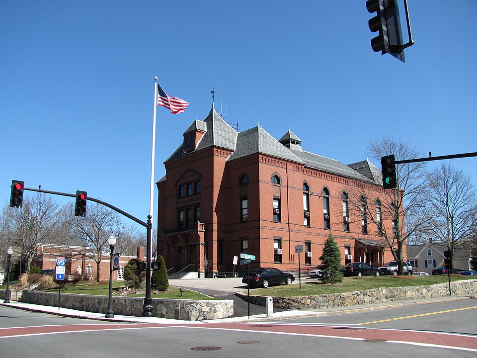
Canton, MA
Canton chose Cyvl to rapidly capture the entire network with vehicle-mounted LiDAR, HD imaging, and sensors, scanning 95.5 roadway miles and cataloging 3,265 signs.
Canton, MA Infrastructure Assessment
Summary
- 95.5 roadway miles scanned and 3,265 signs inventoried, giving Canton immediate, actionable data to fix streets faster for residents
- Projects move from plan to pavement in weeks from the 2025-06-18 data delivery, not months, speeding safer improvements for taxpayers
- Canton can now maintain or repave 5x more roads than with traditional methods, making streets safer and stretching every taxpayer dollar
Problem
Canton’s road network faced rising resident complaints about potholes, uneven pavement, and outdated signs, while budgets were tight and crews were stretched thin. Pavement condition inventories were slow, manual, and expensive—often relying on staff in trucks with clipboards—making it hard to prioritize and schedule work quickly. Without trustworthy, comprehensive data, leaders struggled to link reported defects to a clear plan that moved from budgeting to engineering to construction fast enough to meet community expectations.
Solution
Canton chose Cyvl to rapidly capture the entire network with vehicle-mounted LiDAR, HD imaging, and sensors, scanning 95.5 roadway miles and cataloging 3,265 signs. Cyvl’s Infrastructure Intelligence platform used AI to transform this field data into detailed, actionable pavement condition assessments and engineering-ready maps, so decision-makers could create a comprehensive plan in less time. Delivered on 2025-06-18, the results provided precise segment-level recommendations and costs that let budget, engineering, and operations teams coordinate and get work started quickly for the community.
Impact
With detailed, actionable pavement condition data for all 95.5 miles, Canton linked 311-style reports to clear priorities and moved from planning to construction faster. The city began scheduling construction and maintenance projects starting in weeks from receiving Cyvl data, not months, directly reducing the time residents wait for safer, smoother streets. By streamlining decisions and sharpening scopes, Canton can maintain or repave 5x the number of roads compared to traditional methods, improving safety for everyone while maximizing taxpayer value.
- Faster fixes for residents as crews address the most critical segments first with clear, engineering-ready plans
- Safer streets for everyone as more projects get done and new safety standards apply across a larger share of the network
- Noticeably fewer flat tires and complaints as potholes and surface defects are identified and repaired sooner
- Town meetings run smoother with transparent maps, segment-level costs, and schedules that show taxpayers where and when work will happen
- More efficient allocation of taxpayer dollars as budgets target the right treatments, at the right time, with less waste
- Sign inventory of 3,265 assets supports compliance and targeted replacements, improving guidance and crosswalk visibility for drivers, pedestrians, and students
- Construction and maintenance projects starting in weeks from receiving Cyvl data, not months, cutting the delay between planning and pavement
- Canton can maintain or repave 5x more roads compared to traditional methods, delivering broader improvements and safer travel for residents


-%20logo%20(unpadded).png.png)