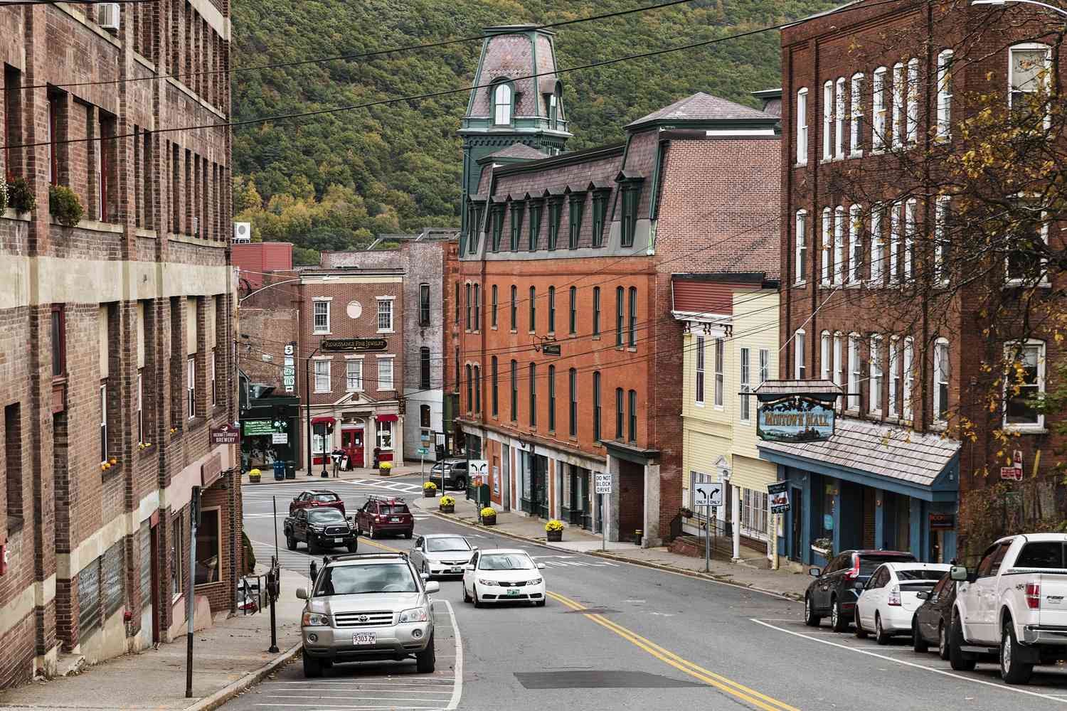
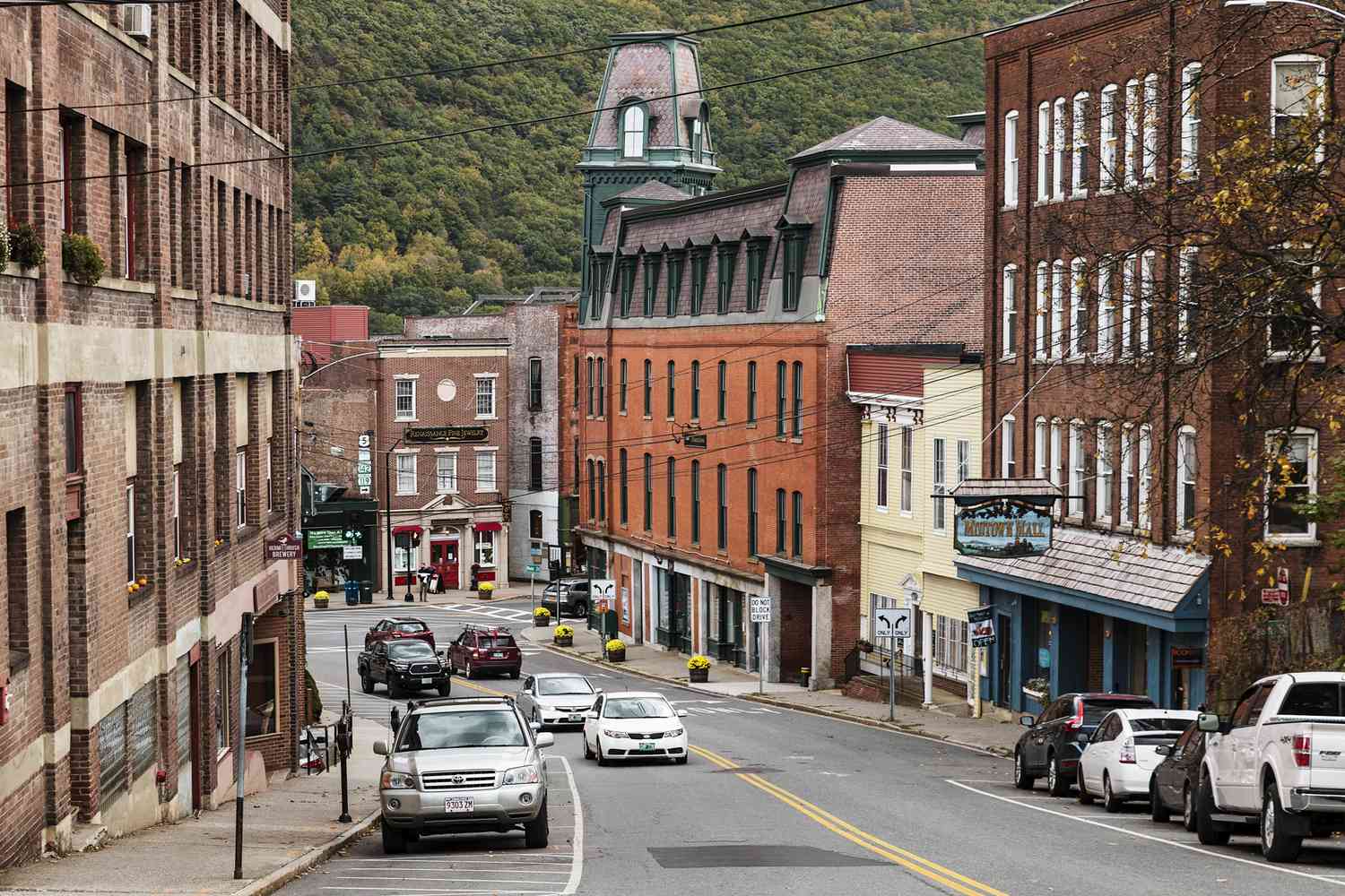
Brattleboro, VT
With complete, current, and defensible data for all 65 miles, Brattleboro moved from reactive fire‑fighting to confident, proactive planning.

Brattleboro, VT Infrastructure Assessment
Summary
- 65 roadway miles scanned and analyzed in weeks, not months, with final deliverables on July 31, 2023
- Credible pavement condition scores and prioritized repair lists enabled a defensible, citywide plan residents could trust
- Faster scheduling led to quicker fixes and safer, smoother travel for taxpayers
Problem
Brattleboro manages a busy network of local and collector roads that take a beating from freeze–thaw cycles and everyday traffic. The public works team was relying on outdated or inconsistent information, which meant they didn’t always know which roads to fix or when, and paving budgets were hard to defend. At town meetings they were constantly asked “Why not my road?” and staff spent hours fielding 311 calls without the data needed to justify choices.
Solution
The Town selected Cyvl to rapidly survey the entire network with vehicle-mounted LiDAR and high‑resolution sensors, covering 65 roadway miles. Cyvl’s Infrastructure Intelligence platform used AI to convert raw scans into pavement condition scores, segment‑level distress mapping, prioritized repair lists, and defensible multiyear plans tied to budget scenarios. Brattleboro received interactive maps, dashboards, and exportable reports in weeks—not months—with final deliverables on July 31, 2023, enabling leaders to make decisions and take action faster.
Impact
With complete, current, and defensible data for all 65 miles, Brattleboro moved from reactive fire‑fighting to confident, proactive planning. Field crews could schedule work in the right places at the right time, reducing the lag between data collection and on‑the‑ground improvements. Residents saw quicker fixes and clearer communication, while elected leaders gained a credible way to show efficient use of taxpayer dollars.
- Detailed, actionable pavement condition data for all 65 miles made it easy to prioritize high‑need corridors and coordinate crews
- Weeks‑not‑months delivery, with final outputs on July 31, 2023, accelerated project start dates and shortened the time to visible improvements
- Clear, map‑based reports reduced 311 volume and helped answer “Why not my road?” with transparent, objective rankings
- Data‑backed budget scenarios strengthened capital requests and improved allocation of paving dollars to maximize resident benefit
- Safer, smoother trips for drivers, cyclists, and buses as potholes and hazards were identified and addressed faster
- Town meetings ran smoother with defensible plans and concise visuals that residents and councilors could understand


-%20logo%20(unpadded).png.png)