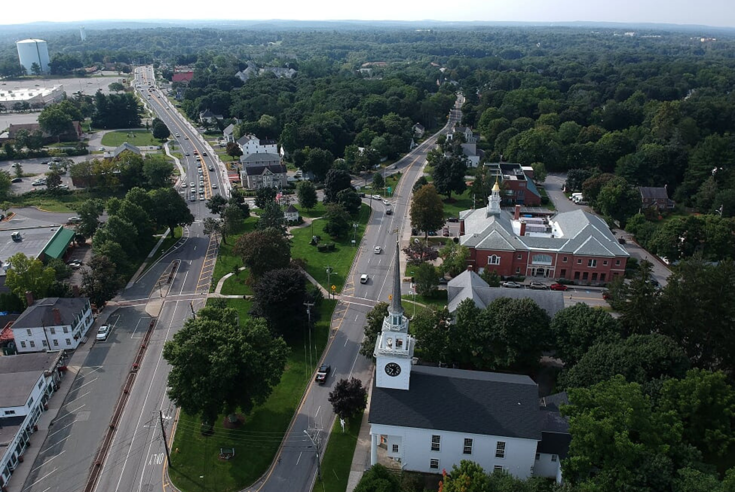
Billerica, MA
With complete, current pavement data in hand, Billerica moved from reactive to proactive operations.

Billerica, MA Infrastructure Assessment
Summary
- 188 roadway miles scanned and scored, enabling fast, defensible paving decisions
- Weeks-not-months data delivery by May 20, 2024, accelerating visible street improvements
- Safer trips, fewer surprises, and better use of taxpayer dollars for Billerica residents
Problem
Billerica manages a busy network that connects neighborhoods to schools, jobs, and regional corridors, but leaders lacked consistent, current roadway data to guide decisions. Without accurate condition information, it was hard to know which roads to fix or when and nearly impossible to build accurate paving budgets, leading to reactive choices and uncertainty. Staff also fielded constant “Why not my road?” questions in town meetings and 311 calls, while manual windshield surveys were slow, unsafe, and often outdated by the time reports were ready.
Solution
Billerica selected Cyvl to rapidly survey the entire street network using vehicle-mounted LiDAR and sensors. In weeks—not months—Cyvl scanned 188 roadway miles and delivered detailed, actionable pavement condition data to the Infrastructure Intelligence platform by May 20, 2024. The AI produced condition scores, prioritized repair lists, and defensible multi-year plans and reports, giving city leaders the clarity to make better decisions and take action faster.
Impact
With complete, current pavement data in hand, Billerica moved from reactive to proactive operations. Engineering and public works used street-by-street scores to schedule resurfacing and maintenance with confidence, while finance built clear budget scenarios that residents can understand. Because delivery happened in weeks, residents saw quicker responses to needs and clearer communication about what is happening next and why.
- 188 roadway miles objectively assessed with LiDAR and AI-driven scoring, enabling a comprehensive plan in less time
- Potholes and surface defects addressed sooner thanks to clear priorities and ready-to-go work lists
- Town meetings run smoother with maps, scores, and schedules that answer “Why not my road?” transparently
- Fewer 311 complaints as communications and timelines improve and crews act faster
- Faster funding approvals by demonstrating efficient use of taxpayer dollars with defensible data
- Budget allocation, public communication, and work scheduling are now EXTREMELY EASY with great data informing decisions


-%20logo%20(unpadded).png.png)