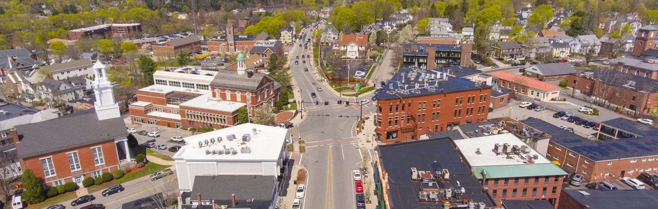
Andover, MA
With a complete, current picture of pavement conditions across 185 miles, Andover moved from reactive to proactive planning in weeks, not months.

Andover, MA Infrastructure Assessment
Summary
- 185 roadway miles scanned and analyzed in weeks, not months, accelerating street improvements for residents
- AI-powered condition scores and prioritized repair lists delivered by September, 12, 2023
- Defensible, data-driven paving plan that directs taxpayer dollars to the highest-impact streets
Problem
Andover manages a complex network of neighborhood and collector roads that see heavy seasonal wear and frequent utility activity. For years, decisions leaned on outdated or inconsistent pavement data, making it hard to know which streets to fix, when to intervene, or how to forecast accurate paving budgets. Without a clear, defensible prioritization method, staff were pulled into reactive responses to 311 complaints and “Why not my road?” questions at meetings, risking the appearance of bias instead of a citywide, strategic plan.
Solution
Andover’s leadership chose to modernize its roadway program with a rapid, data-driven approach. Using vehicle-mounted LiDAR and sensors, Cyvl scanned 185 roadway miles and, by September, 12, 2023, delivered detailed, actionable pavement condition data inside the Infrastructure Intelligence platform. The platform’s AI translated raw measurements into condition scores, prioritized repair lists, maps, and defensible plans that city leaders use to make better decisions, communicate clearly with residents, and move projects from data to construction faster.
Impact
With a complete, current picture of pavement conditions across 185 miles, Andover moved from reactive to proactive planning in weeks, not months. Public works can now schedule treatments at the right time, coordinate with utility projects, and present clear reasoning in town meetings—reducing friction and speeding up actual road work. The speed of delivery on September, 12, 2023 meant less time waiting for reports and more time turning data into safer, smoother streets for residents.
- 185 roadway miles scanned with LiDAR and sensors, giving Andover a reliable condition baseline for every neighborhood
- Condition scores and prioritized repair lists delivered by September, 12, 2023 so potholes and surface failures are addressed faster within the same construction season
- Fewer 311 road complaints and quicker, transparent responses backed by maps and data that show how streets are prioritized
- Budget requests and allocations defended with current data, helping secure funding and focus taxpayer dollars on the highest-impact streets
- Work scheduling and utility coordination streamlined, minimizing rework and reducing lane-closure time for residents
- Safer, smoother daily commutes as crews target urgent segments sooner and preserve good roads before they fail


-%20logo%20(unpadded).png.png)