LiDAR Point Clouds
Centimeter-accurate LiDAR point cloud data collected simultaneously with imagery — enabling precise measurements, change detection, and 3D modeling of your entire road network.
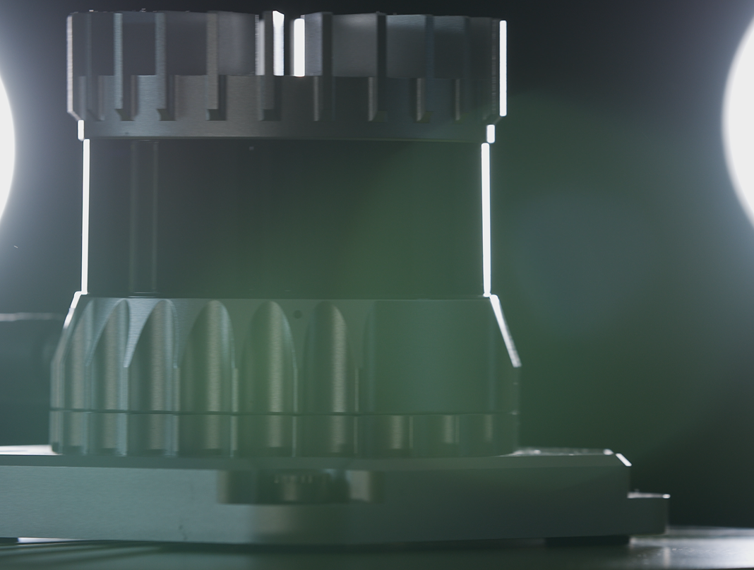
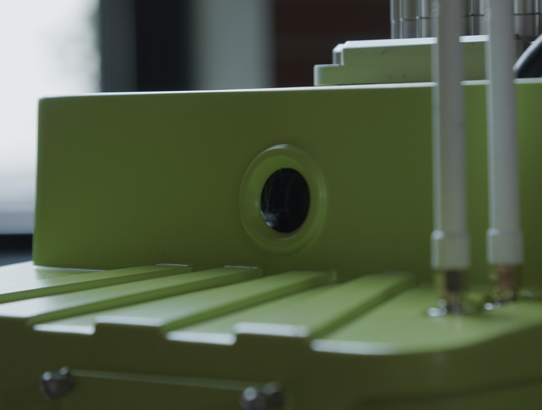
Cyvl's mobile LiDAR system captures dense, high-accuracy 3D point clouds of your road network and surrounding environment during every data collection run. The raw point cloud data is available as LAZ files, compatible with Civil 3D, QGIS, ArcGIS Pro, and other standard engineering and GIS workflows.
Point cloud data supports a range of workflows beyond standard infrastructure assessment, including cross-section measurements, vertical clearance analysis, drainage modeling, surface change detection between collection cycles, and extraction of physical features that imagery alone cannot reliably capture. Cyvl's Data Fusion pipeline uses this same LiDAR data to improve the geolocation accuracy and severity scoring of all asset and pavement deliverables.
For engineering firms and municipalities running Civil 3D projects, Cyvl's LiDAR provides a fast path from road scan to design-ready surface, reducing the need for separate survey engagements. The point cloud is the same dataset that powers all of Cyvl's AI-derived products, made available directly for teams that want to build their own analysis workflows on top of it.


-%20logo%20(unpadded).png.png)