%201.png)
Collection Process
See exactly how Cyvl's mobile sensor rig captures your entire network, and how raw miles of road become clean, actionable infrastructure data delivered straight to your team.
The Collection Process
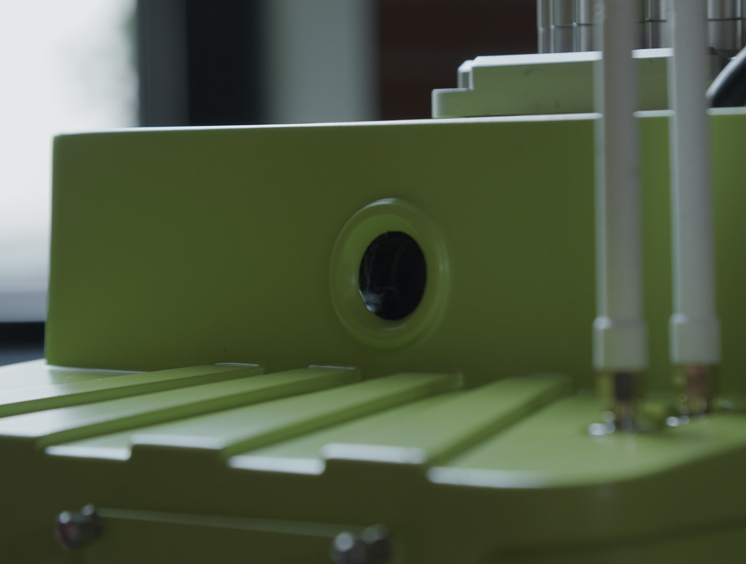
Cyvl's data collection uses a purpose-built sensor comprised of LiDAR, GoPro cameras, and GPS that can be mounted on any vehicle, not just a dedicated van. That means your data collection does not require special equipment, road closures, or flagging crews. A trained Cyvl operator drives your network at normal vehicle speeds, capturing a complete picture of your roads and right-of-way in a single pass.
Raw sensor data is uploaded directly to Cyvl's cloud infrastructure through AWS S3, then run through a multi-stage processing pipeline that handles image extraction, GPS trajectory processing, 3D environment reconstruction via SLAM, LiDAR data fusion, and AI model inference. The result is a fully attributed, georeferenced dataset covering every product your project includes, ready for delivery and platform upload.
Because the sensor can attach to any car, Cyvl offers a more flexible, cost-effective approach than van-based competitors. And because Cyvl handles the entire collection and processing workflow, your staff stays focused on managing infrastructure rather than managing a data collection project.
Common Questions
Does wet pavement affect results?
Drier conditions are recommended. Wet pavement can affect detection of certain distress types and may increase false positives for weathering and raveling. Light moisture without standing water or pooling typically does not impact quality.
Can Cyvl collect on highways and interstates?
Yes. The system can collect overhead signage and infrastructure at highway speeds. Cyvl supports collection of overhead interstate signs and can operate at standard posted highway speeds.
Can my own staff drive the collection routes?
Yes. Any driver familiar with the road network can collect data. Cyvl provides training and a mobile app that shows collection status, coverage gaps, and data quality indicators in real time.


-%20logo%20(unpadded).png.png)