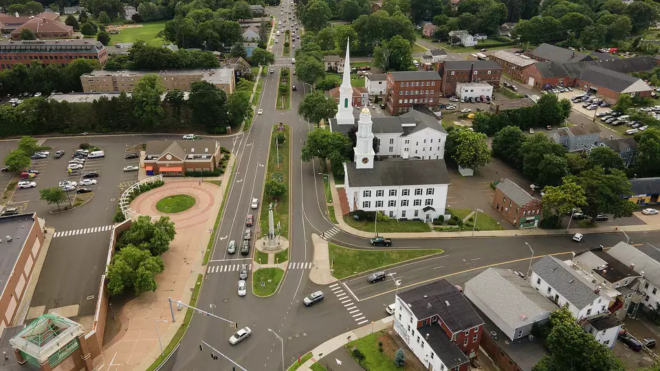
Madison, CT
By July 8th, 2024, Madison had a complete, defensible pavement condition inventory across 131 miles, enabling immediate, transparent decisions that residents can see on their streets.

Madison, CT Infrastructure Assessment
Summary
- 131.0 roadway miles scanned and analyzed, giving Madison a complete picture to fix streets faster for residents
- Actionable pavement condition data delivered by 2024-07-08 in weeks, cutting months from planning and speeding construction
- Projects can start in weeks with Cyvl data, enabling up to 5x more roads maintained or repaved for taxpayers
- Safer streets for everyone as more projects move quickly and meet current safety standards
Problem
Madison faced aging pavement, rising maintenance costs, and growing expectations from residents for faster, safer fixes. Traditional windshield surveys and clipboards took months, produced inconsistent results, and left staff uncertain about where to invest limited funds. That lag meant potholes lingered, 311 complaints grew, and budget decisions were harder to defend to taxpayers and the council.
Solution
Madison chose Cyvl to rapidly survey every public roadway, using vehicle-mounted LiDAR and high-resolution sensors to scan 131.0 miles and capture precise pavement distresses. Within weeks, Cyvl’s Infrastructure Intelligence platform delivered detailed, actionable pavement condition data and AI-driven treatment plans with quantities and costs, all geolocated to each block. With this single source of truth, city leaders developed a comprehensive plan in less time, aligned budgets, and prepared bid-ready project bundles that move from planning to construction in weeks, not months.
Impact
By July 8th, 2024, Madison had a complete, defensible pavement condition inventory across 131 miles, enabling immediate, transparent decisions that residents can see on their streets. The city translated the data into shovel-ready resurfacing and maintenance packages that launch in weeks, shortening the time residents wait for smoother rides and safer crossings. With cost-optimized treatments and clear priorities, Madison can maintain or repave up to 5x more roads than with traditional methods, stretching taxpayer dollars and improving overall network safety as more projects meet current standards.
- Construction and maintenance projects starting in weeks from receiving Cyvl data, not months, so residents see improvements sooner
- Up to 5x the number of roads maintained or repaved compared to traditional methods, maximizing the impact of every taxpayer dollar
- Safer streets for everyone as more projects advance and new safety standards are applied across corridors
- Data-backed budgets and clear project maps make town meetings smoother and help council approve funding faster
- Public Works schedules and crews operate more efficiently, reducing waste and shortening the time between planning and construction
- Fewer 311 complaints and happier drivers, cyclists, and school bus routes as problem areas are addressed sooner


-%20logo%20(unpadded).png.png)