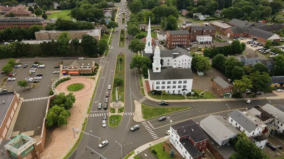
Guilford, CT
With trustworthy data in hand on February 4, 2025, Guilford compressed the time between planning and construction so residents see improvements sooner.

Guilford, CT Infrastructure Assessment
Summary
- Data delivered 2025-02-04, moving Guilford projects from planning to construction in weeks, not months
- Up to 5x more roads maintained or repaved vs. traditional methods, maximizing taxpayer value
- Safer streets for everyone as more projects get done faster and new safety standards are applied
Problem
Before this effort, Guilford lacked current, street-level condition data to make fast, defensible decisions. Manual windshield surveys and scattered records slowed planning, leaving potholes and pavement failures to linger longer than residents deserve and making town meetings contentious. Without a precise inventory of roadway conditions and signs, it was hard to prioritize corridors, justify budgets, or schedule construction crews with confidence.
Solution
To move faster, Guilford selected Cyvl to rapidly scan its network with vehicle-mounted LiDAR, cameras, and advanced sensors. In weeks, Cyvl delivered detailed, actionable pavement condition data for 1.8 roadway miles and a geolocated inventory of 29 signs through the Infrastructure Intelligence platform, which uses AI to turn raw measurements into construction-ready plans and reports. Delivered on 2025-02-04, the data gave city leaders a comprehensive, transparent plan for the scoped corridors that they could execute quickly, with clear timelines residents could trust.
Impact
With trustworthy data in hand on February 4, 2025, Guilford compressed the time between planning and construction so residents see improvements sooner. Crews can now schedule maintenance and paving weeks after receiving the data, not months, while leadership uses the maps and condition scores to explain choices and secure funding. By accelerating work and applying current design and safety standards, streets become safer for drivers, pedestrians, and cyclists across the covered corridors.
- 1.8 roadway miles scanned with LiDAR and HD imagery and 29 signs inventoried, producing block-by-block condition data that translates directly into work orders residents can see
- Construction and maintenance projects now start in weeks after data delivery, not months, so potholes are fixed faster and commutes improve sooner
- With Cyvl, Guilford can maintain or repave up to 5x more roads compared to traditional methods, stretching every taxpayer dollar further
- Safer streets for everyone as more projects move forward and updated standards are implemented on each job
- Fewer 311 complaints and smoother town meetings thanks to transparent maps, photographs, and reports that clearly show what will be fixed and when
- Stronger, data-driven budget requests that help Public Works secure funding and keep crews in the field, accelerating visible results for residents


-%20logo%20(unpadded).png.png)