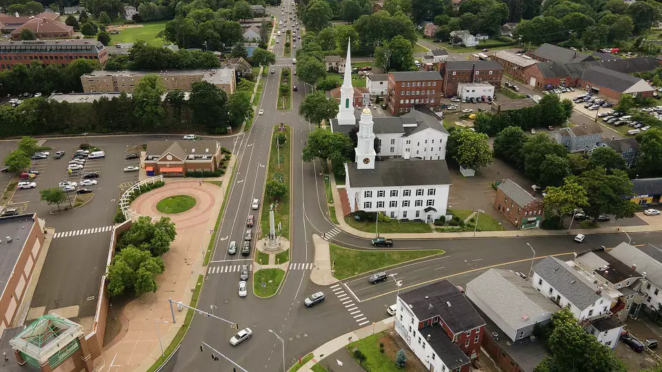
Enfield, CT
With a complete, verified picture of all 190 miles, Enfield built a comprehensive, data-driven program that focuses resources where they do the most good for residents.

Enfield, CT Infrastructure Assessment
Summary
- 190 roadway miles in Enfield, CT scanned and analyzed by 2025-08-15, giving leaders immediate, trustworthy pavement condition data to speed repairs for residents
- Projects can start in weeks from receiving Cyvl data, not months—translating to faster, safer streets and better use of taxpayer dollars
- Enfield can maintain or repave up to 5x more roads with the same budget, bringing network-wide safety upgrades to residents sooner
Problem
Enfield’s aging road network faces constant freeze–thaw cycles, potholes, and cracking that frustrate drivers and slow emergency response and school traffic. Traditional pavement inventories were slow, manual, and expensive, leaving city staff without current, defensible data to prioritize projects, build budgets, and respond quickly to citizen complaints. Without timely, detailed condition information, town meetings were harder, funding was delayed, and residents waited longer between reporting a defect and seeing a crew on their street.
Solution
Enfield selected Cyvl to rapidly survey its entire network, scanning 190.0 roadway miles with vehicle-mounted LiDAR and high-resolution sensors, and delivering results by 2025-08-15. Cyvl’s Infrastructure Intelligence platform transformed the raw data into detailed, actionable pavement condition mapping and project-ready work plans, giving engineering, finance, and public works a common source of truth. With block-by-block condition scores, treatment recommendations, and prioritized project lists, the city moved faster from citizen reports to budget approval to engineering design and construction mobilization—compressing months of work into weeks for faster resident benefits.
Impact
With a complete, verified picture of all 190 miles, Enfield built a comprehensive, data-driven program that focuses resources where they do the most good for residents. Because plans and budgets are backed by objective data, approvals come faster, and construction can kick off within weeks of the August 15, 2025 delivery—cutting the lag between planning and paving that residents feel on their commute. By optimizing treatments across the whole network, Enfield can maintain or repave up to 5x more roads than before, improving safety, ride quality, and value for taxpayers.
- Construction and maintenance projects starting in weeks from receiving Cyvl data, not months—reducing resident wait time between reporting issues and seeing repairs
- 190 roadway miles scanned with LiDAR and HD imagery, producing detailed, actionable pavement condition data so crews fix the right blocks first and residents see quicker results
- Up to 5x the number of roads maintained or repaved compared to traditional methods, stretching every taxpayer dollar and shrinking the backlog residents experience
- Safer streets for everyone—because more projects can get done and each new project applies current safety standards, the overall network gets safer for residents
- Faster town meetings and budget approvals backed by defensible data, enabling the city to turn plans into construction schedules sooner for visible neighborhood improvements
- Quicker response to community needs as engineering, finance, and operations align on a shared, map-based plan—fewer 311 complaints and smoother day-to-day travel
- Reduced time between planning and construction allows crews to bundle work efficiently, lowering unit costs and putting savings back into more resident-facing repairs


-%20logo%20(unpadded).png.png)
Smarter Infrastructure,
Stronger Communities