Ellington, CT
With the dataset in hand, Ellington turned resident reports into an actionable, neighborhood-by-neighborhood maintenance and paving program that focused resources where they would help people fastest.

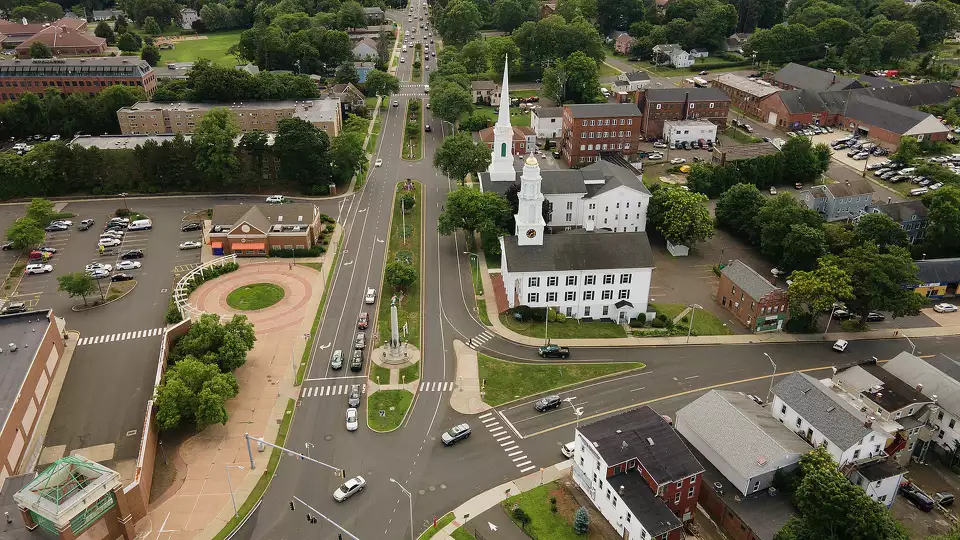
Ellington, CT Infrastructure Assessment
Summary
- 103.5 roadway miles rapidly surveyed and analyzed, giving Ellington trusted, street-level data to fix roads faster for residents
- Construction and maintenance projects starting in weeks from receiving Cyvl data, not months—speeding safer, smoother commutes
- Ellington can maintain or repave 5x the number of roads compared to traditional methods, maximizing taxpayer dollars and resident benefits
Problem
Ellington’s residents were reporting potholes, cracking, and rough pavement across town, but the Public Works team lacked current, system-wide data to act quickly and confidently. Traditional pavement inventories relied on slow, manual windshield surveys and spreadsheets, which delayed planning and pushed construction into the next season. Without a trusted condition map across all roads, budget hearings were harder, projects stalled for months, and taxpayers felt the impact in flat tires, detours, and safety concerns near schools and businesses.
Solution
Ellington chose Cyvl to rapidly survey every street using vehicle-mounted LiDAR and sensors, capturing precise pavement distress across 103.5 roadway miles. Cyvl’s Infrastructure Intelligence platform transformed those scans into detailed, actionable pavement condition data with segment-level ratings, recommended treatments, and costed capital plans—delivered to the Town on 2023-11-13. With clear maps, dashboards, and exportable worklists, Ellington aligned budget, engineering, and operations so projects could move from data to design in weeks, not months, accelerating resident benefits.
Impact
With the dataset in hand, Ellington turned resident reports into an actionable, neighborhood-by-neighborhood maintenance and paving program that focused resources where they would help people fastest. Engineering finalized treatment selections faster, procurement prepared bid packages sooner, and crews scheduled work while the weather still allowed safe construction. Because more projects can start within weeks of receiving Cyvl’s data, Ellington can maintain or repave 5x the number of roads compared to traditional methods and make the overall network safer for everyone as new safety standards are applied.
- 103.5 roadway miles scanned with LiDAR and sensors, giving every neighborhood an objective, street-level condition map residents can trust
- Construction and maintenance projects starting in weeks from data delivery (11/13/2023), cutting the gap between planning and paving so residents see faster fixes
- 5x the number of roads maintained or repaved compared to traditional methods, stretching every taxpayer dollar further
- Faster pothole response and fewer 311 complaints because crews receive precise segment locations and recommended treatments
- Safer routes to schools, parks, and businesses as more segments are improved and updated safety standards are applied during each project
- Smoother town meetings and clearer budget approvals thanks to verifiable maps, condition scores, and costed plans that show exactly where and why work is happening
- Reduced change orders and construction risk through better scoping from measured pavement distress, lowering lifecycle costs for taxpayers
- Shortened time between planning and construction allows more projects to be delivered in the same year, accelerating visible improvements for residents


-%20logo%20(unpadded).png.png)
Smarter Infrastructure,
Stronger Communities