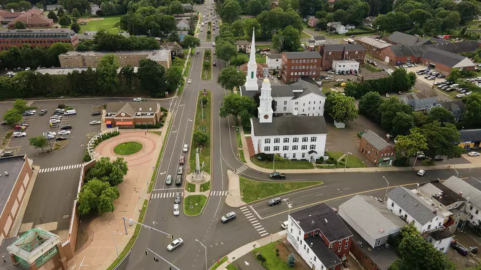
Bloomfield, CT
With up-to-date measurements across all 108 miles, Bloomfield’s engineers quickly translated analytics into a clear, costed work program spanning resurfacing, mill-and-overlay, crack sealing, and targeted repairs.

Bloomfield, CT Infrastructure Assessment
Summary
- Rapid delivery by 2022-08-19 turned data into construction in weeks—faster, safer streets for residents
- 108.6 miles of detailed pavement condition mapped, enabling Bloomfield to maintain or repave up to 5x more roads
- Actionable, defensible insights helped target repairs sooner, reducing 311 complaints and improving daily commutes
Problem
Bloomfield’s roadway network faced constant wear from New England freeze–thaw cycles, school and commuter traffic, and utility cuts, leading to potholes, rough rides, and rising 311 complaints from residents. The Town lacked current, systemwide pavement data to confidently set budgets and move projects quickly; manual windshield surveys were slow, subjective, and costly. Without a trusted inventory, planning, engineering, and operations struggled to align on which streets to treat, which treatments to use, and how to schedule construction to minimize disruption for taxpayers.
Solution
Bloomfield chose Cyvl to rapidly survey 108.6 roadway miles using vehicle-mounted LiDAR, HD imagery, and inertial sensors, delivering a complete pavement condition inventory by 2022-08-19. Cyvl’s Infrastructure Intelligence platform used AI to detect and quantify distresses, produce segment-level condition scores, and generate treatment recommendations and cost scenarios citywide. With defensible, street-by-street data in hand, Town leaders built a comprehensive plan in less time and moved projects toward construction in weeks rather than months—turning speed into faster fixes residents could feel.
Impact
With up-to-date measurements across all 108 miles, Bloomfield’s engineers quickly translated analytics into a clear, costed work program spanning resurfacing, mill-and-overlay, crack sealing, and targeted repairs. Because decisions were backed by objective data, leadership aligned budgets and scheduled more projects sooner, shortening the time between resident reports and real pavement improvements. The outcome for residents: smoother commutes, safer streets, and better use of taxpayer dollars, with construction and maintenance starting in weeks after data delivery.
- 108.6 roadway miles scanned with LiDAR and HD imagery, giving crews street-level defect details to accelerate work orders so potholes and hazards are fixed faster for residents
- Projects moved from planning to construction within weeks of the 2022-08-19 delivery, reducing how long neighborhoods waited for smoother pavement
- Enabled Bloomfield to maintain or repave up to 5x the number of roads compared to traditional methods, stretching every taxpayer dollar further
- Safer streets for everyone as more projects advanced and new safety standards were applied across the network
- Fewer 311 complaints and flat-tire claims as priority corridors received timely resurfacing and repairs
- Clear, data-backed presentations at town meetings improved trust and helped secure funding approvals so improvements arrive faster for taxpayers


-%20logo%20(unpadded).png.png)
Smarter Infrastructure,
Stronger Communities